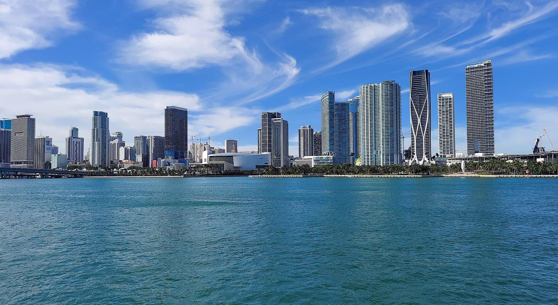
Among the 51 access points closest to downtown Miami, 11 are named as kayak, canoe or paddlecraft launches in the state registry.
Distances are straight-line from downtown Miami; below are the 10 closest, grouped by water.
Biscayne Bay
Recorded in Biscayne Bay: Common Snook, Spotted Seatrout, Red Drum, and Tarpon.
Surveyed depths in Biscayne Bay reach 57 ft.
- 1Spring Garden Park Kayak Launch: boat ramp on Biscayne Bay, ≈ 0.9 mi from downtown.
- 2Rickenbaker Causeway Beach North - Paddlecraft Access Points: boat ramp on Biscayne Bay, ≈ 2 mi from downtown.
- 3Virginia Key Beach North Point Park - Outdoor Center Paddlecraft Rentals and Launch: boat ramp on Biscayne Bay, ≈ 3.5 mi from downtown.
- 4Pine Tree Park Paddlecraft Launch: boat ramp on Biscayne Bay, ≈ 5.3 mi from downtown.
- 5Bill Baggs Cape Florida State Park - Kayak Beach (Area 1): boat ramp on Biscayne Bay, ≈ 7 mi from downtown.
- 6Oleta River State Park - Angle Fish Pavilion Paddlecraft Beach: boat ramp on Biscayne Bay, ≈ 10 mi from downtown.
- 7Oleta River State Park - Seagrape Pavilion Paddlecraft Access: boat ramp on Biscayne Bay, ≈ 10 mi from downtown.
- 8Oleta River State Park - Parking Lot 6 Paddlecraft Access: boat ramp on Biscayne Bay, ≈ 10.2 mi from downtown.
- 9Oleta River State Park - Outdoor Center Paddlecraft Rentals and Launch: boat ramp on Biscayne Bay, ≈ 10.4 mi from downtown.
Largo Sound
Recorded in Largo Sound: Tarpon, Florida Pompano, Sheepshead, and Southern Flounder.
Surveyed depths in Largo Sound reach 8 ft.
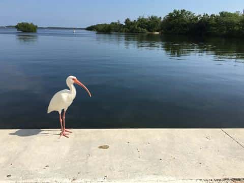
- 10John Pennekamp Coral Reef State Park - Kayak Launch at Far Beach: boat ramp on Largo Sound, ≈ 46.8 mi from downtown.
When the fish bite here
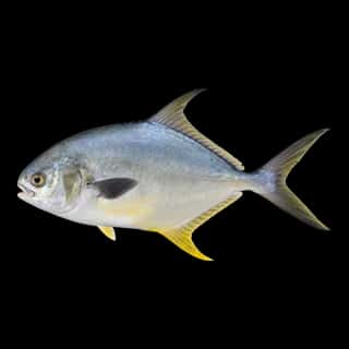
Florida Pompano and Common Snook bite well.
 SaltwaterGood
Florida Pompano
Trachinotus carolinus
Carangidae
24 in6 lb4 yr59 watersGame fish SaltwaterSlow
Sheepshead
Archosargus probatocephalus
Sparidae
36 in20 lb9 yr64 watersGame fish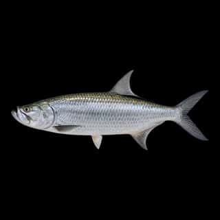 SaltwaterSlow
Tarpon
Megalops atlanticus
Megalopidae
96 in280 lb50 yr61 watersGame fish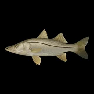 BrackishGood
Common Snook
Centropomus undecimalis
Centropomidae
48 in50 lb15 yr57 watersGame fish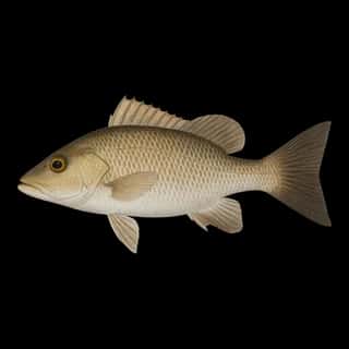 SaltwaterSlow
Gray Snapper
Lutjanus griseus
Lutjanidae
36 in20 lb10 yr55 watersGame fish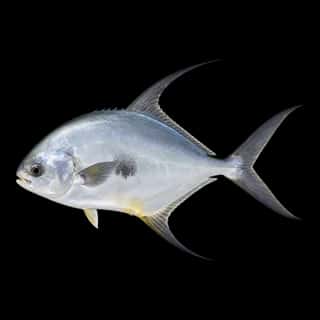 SaltwaterSlow
Permit
Trachinotus falcatus
Carangidae
36 in75 lb10 yr10 watersGame fish