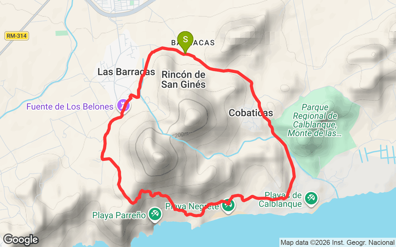
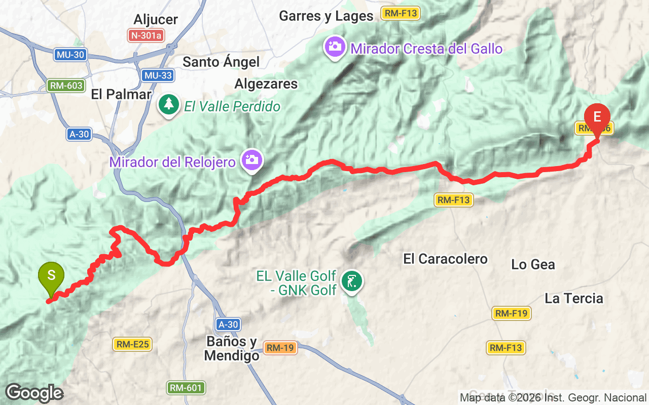
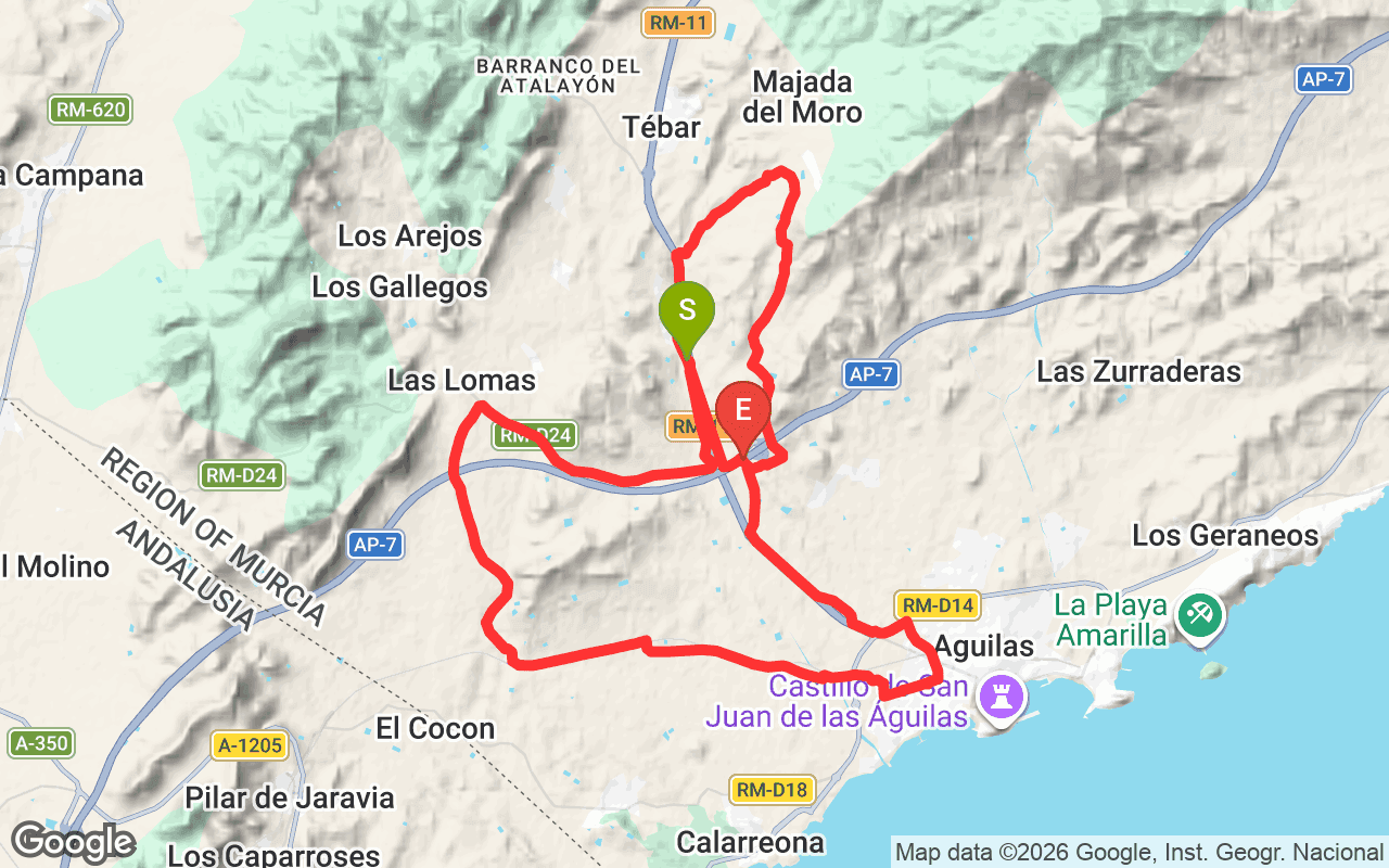
Vuelta al Cabezo de la Fuente is a regional hiking trail located in the Murcia region of Spain, officially designated as PR-MU 1. This loop trail spans 8.7 kilometers and features a moderate elevation gain of 197 meters, making it a popular choice for both locals and visitors looking to explore the natural beauty of the area. The trail is well-marked and maintained by the Federación de Montañismo Región de Murcia, providing a reliable route for hikers.
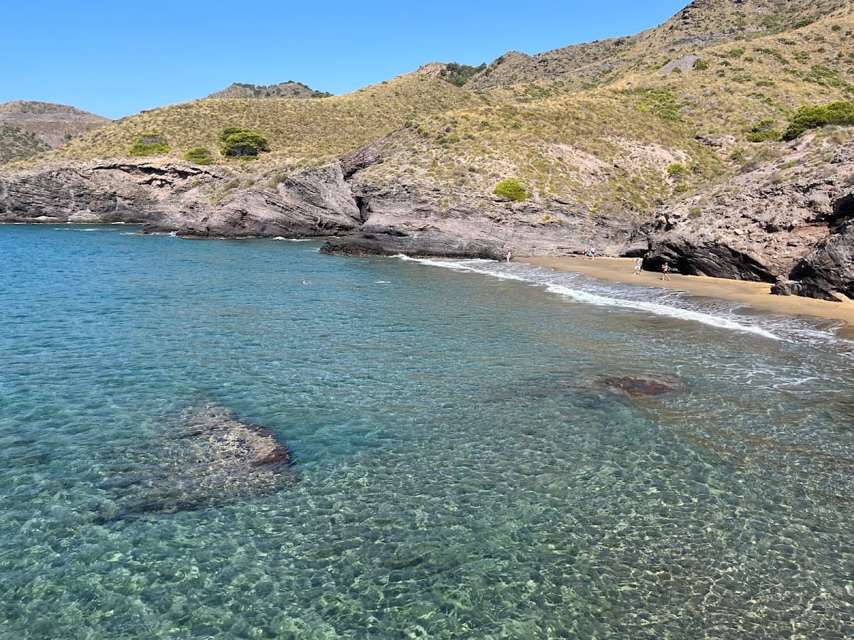
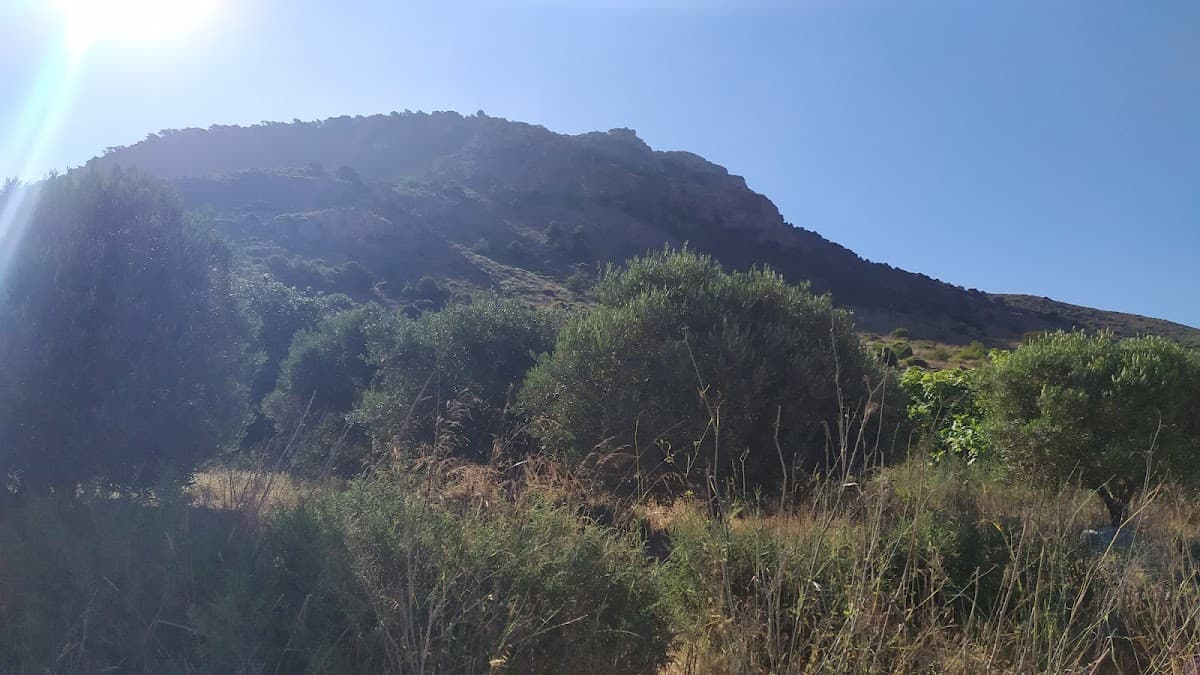
As you hike along Vuelta al Cabezo de la Fuente, you'll experience a variety of landscapes, from gentle slopes to more challenging sections. The trail starts at a low elevation of just 2 meters and ascends to a maximum height of 142 meters, offering views of the surrounding terrain as you progress. The descent includes a total elevation loss of 245 meters, which can be a bit steep in places, so be prepared for some careful footing. Along the way, you might encounter local flora and fauna, as well as the serene sounds of nature, making this a refreshing escape from urban life.
The trail is accessible year-round, but the best time to visit is during the cooler months, from October to April, when temperatures are more comfortable for hiking. Expect to spend around 2 to 3 hours completing the loop, depending on your pace. A moderate fitness level is recommended due to the elevation changes. To get to the trailhead, you can drive to the nearest access point and park nearby. Be sure to bring plenty of water, snacks, and appropriate footwear for a safe and enjoyable hike.
Operator: Federación de Montañismo Región de Murcia
Reference: PR-MU 1