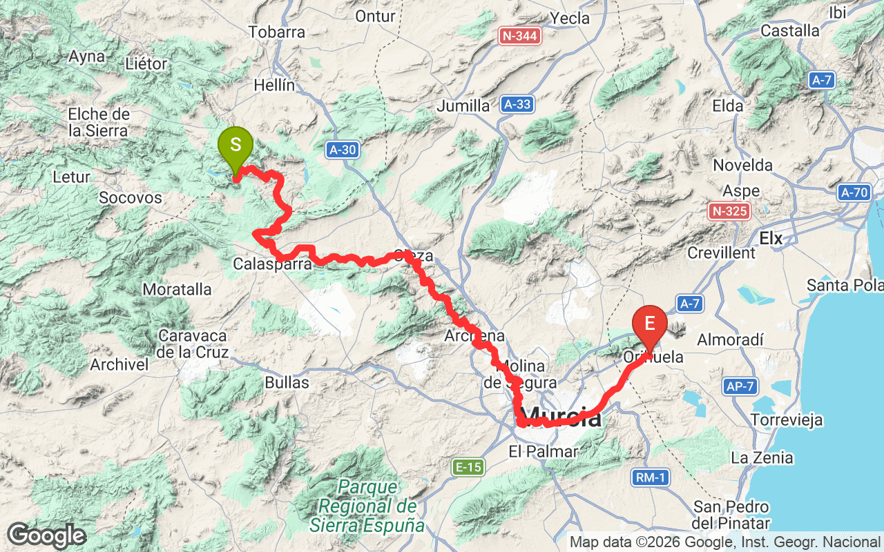
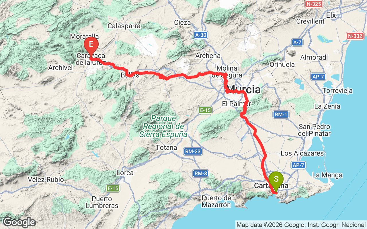
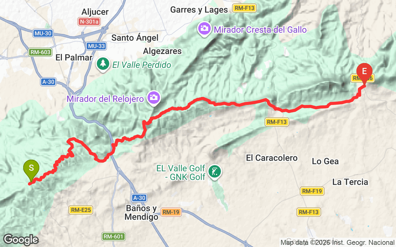
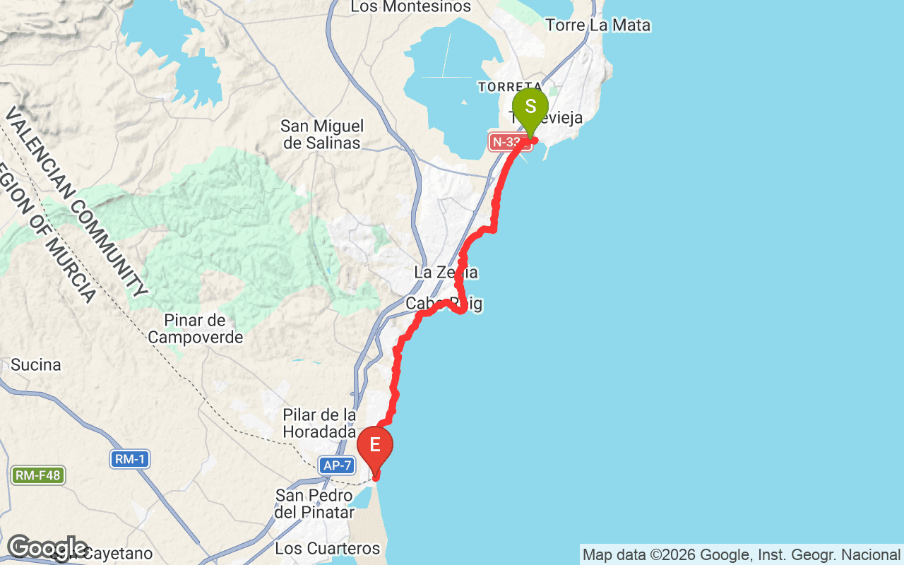
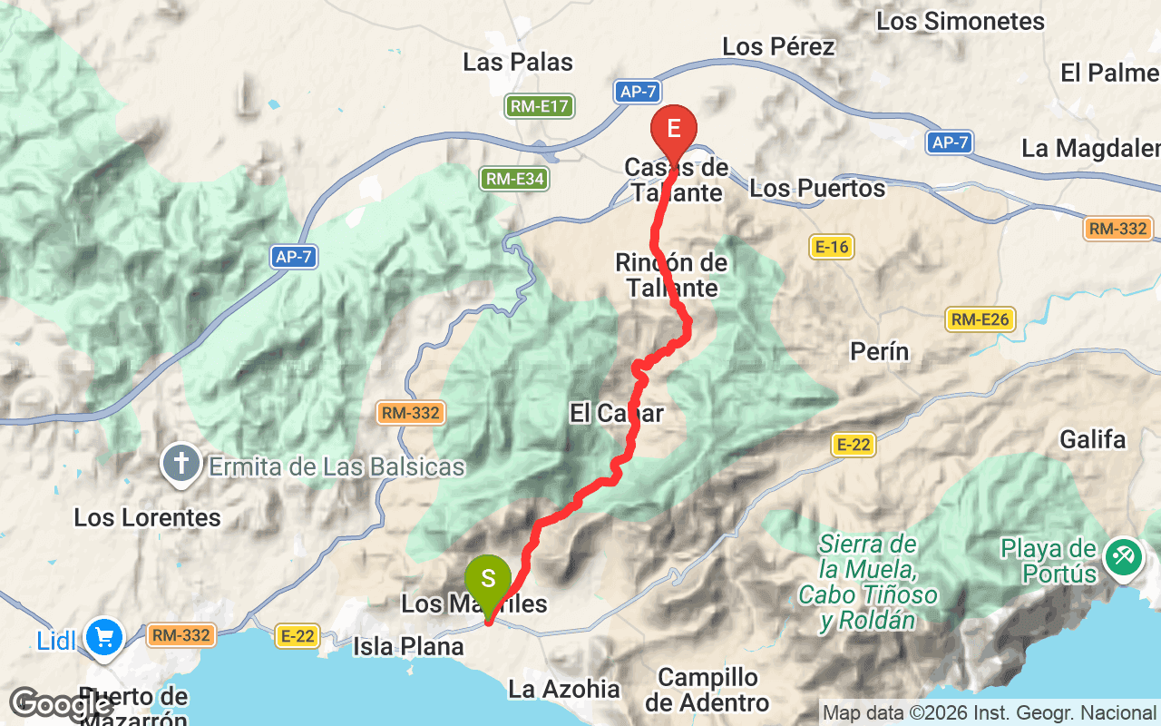
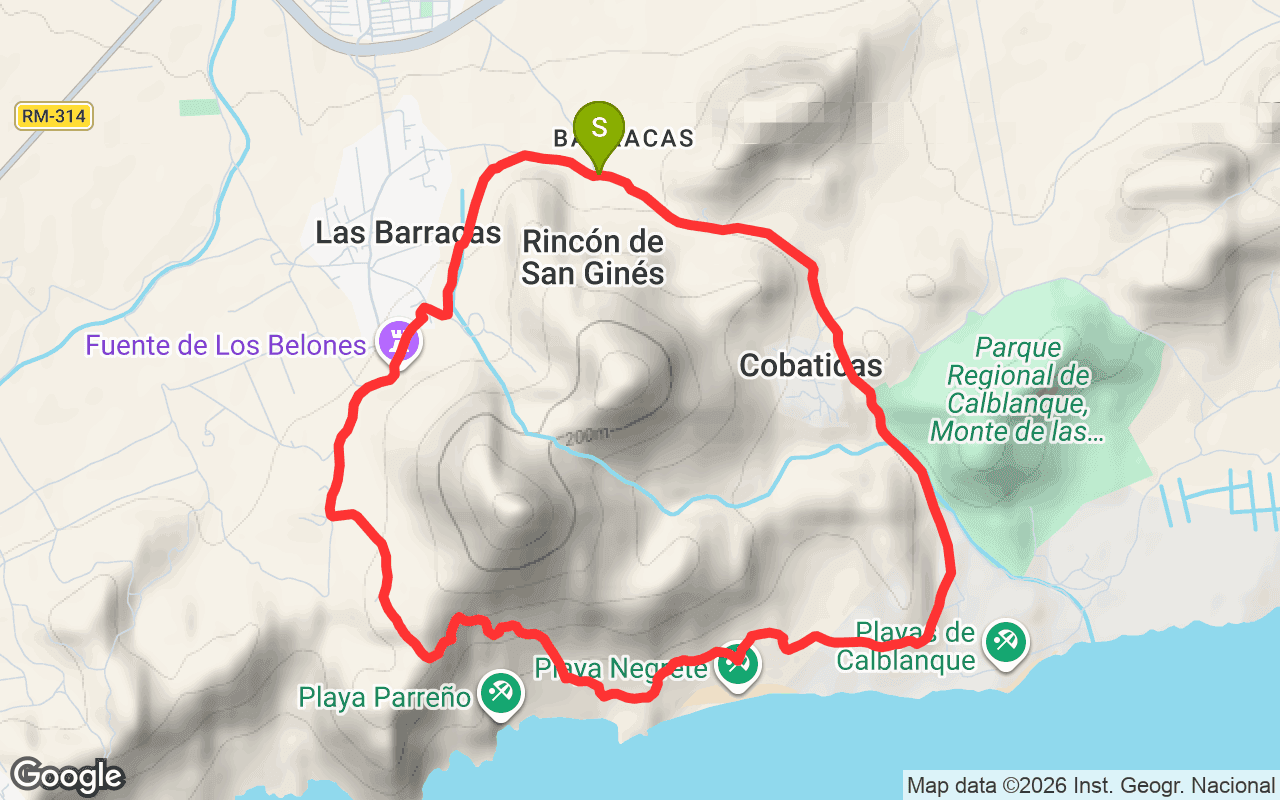
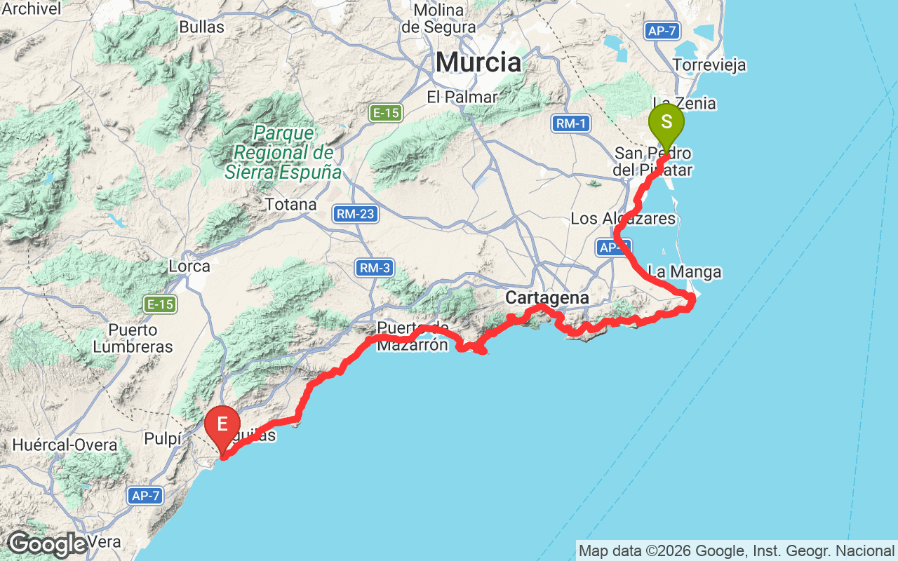
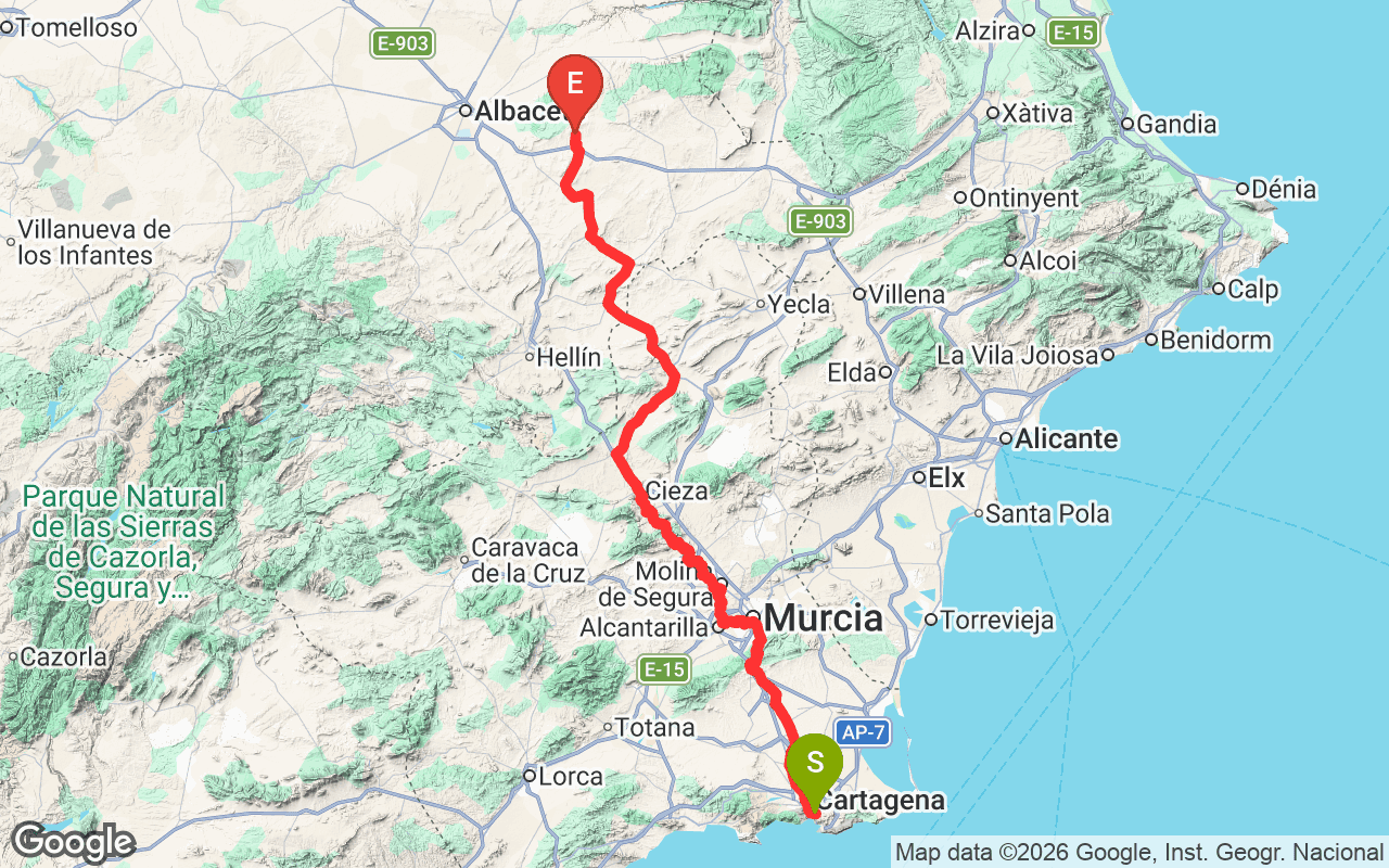
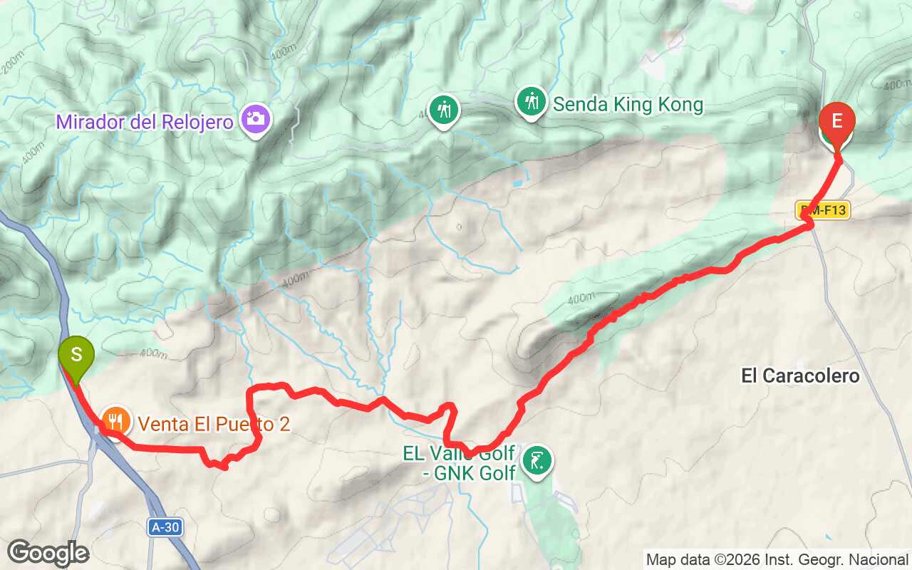
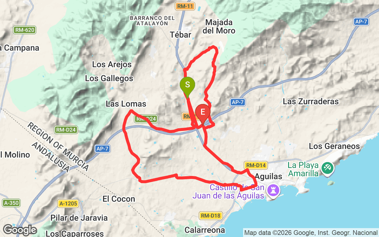
Río Segura, marked as GR 127, is a national hiking trail in the Murcia region of Spain. Spanning an impressive 362.2 kilometers, this trail follows the course of the Segura River, showcasing the diverse landscapes and ecosystems along its banks. This trail is significant not only for its length but also for the variety of terrains it traverses, making it a popular choice for both local and regional hikers looking to explore the natural beauty of the area.
The hiking experience on the Río Segura trail is quite varied, with an elevation gain of 14,457 meters and an equal elevation loss, which means you'll encounter both challenging ascents and gentle descents. The trail ranges from a minimum elevation of 20 meters to a maximum of 483 meters, allowing hikers to experience different landscapes, from lush riverbanks to rocky outcrops. As you hike, you'll see a mix of flora and fauna, and the changing scenery offers a refreshing perspective on the natural environment of Murcia. The trail is suitable for those who enjoy a moderate to strenuous hike, providing a rewarding experience for those willing to take on the challenge.
For those planning to hike the Río Segura, it's essential to prepare adequately. The total distance of 362.2 kilometers typically requires several days to complete, so many hikers break it into segments. A good fitness level is recommended due to the trail's elevation changes and varying terrain. The best time to hike is during the spring and fall when temperatures are milder. Access points can be found throughout the trail, and it's advisable to bring plenty of water, snacks, and appropriate hiking gear. Make sure to check local maps and guides for specific trailhead locations and any potential closures.
Operator: Federación de Montañismo Región de Murcia
Reference: GR 127