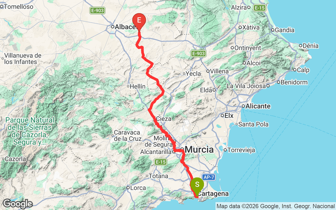
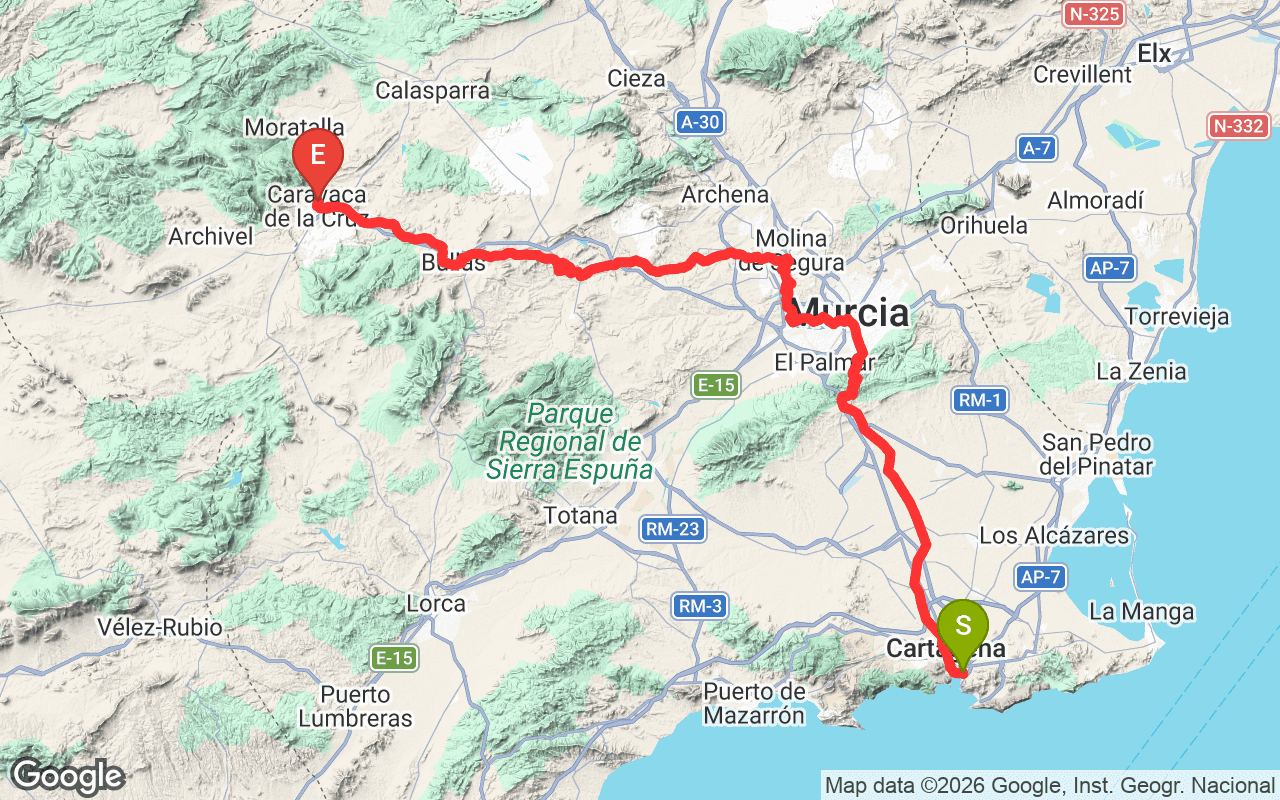
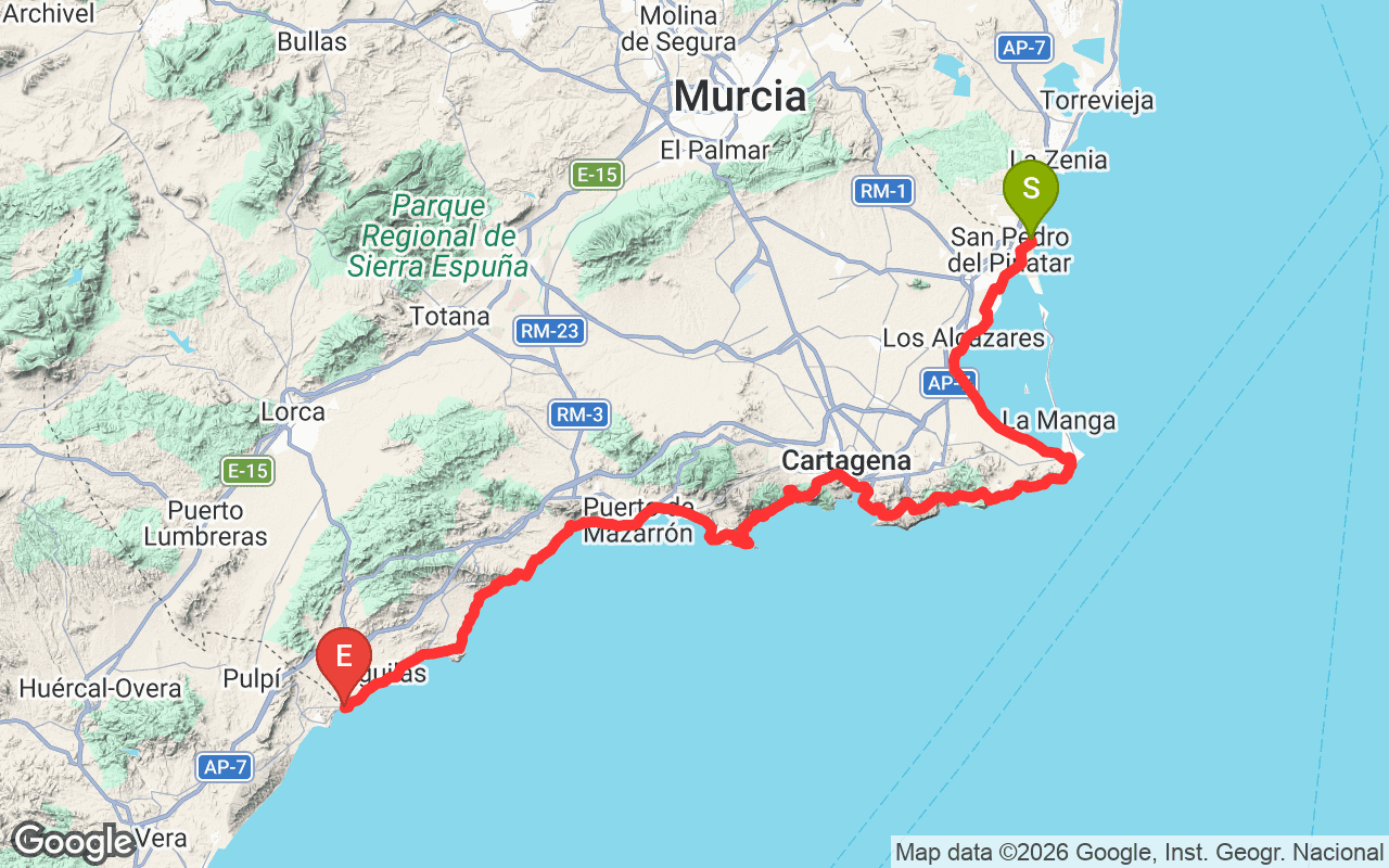
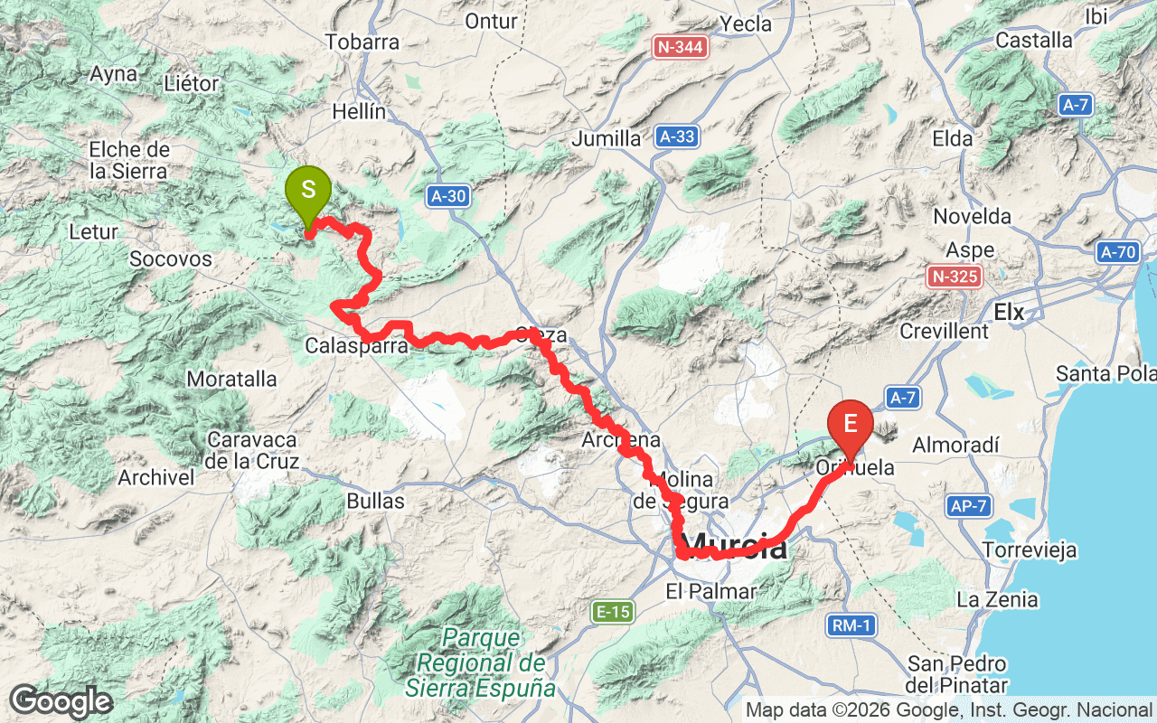
The Camino de Santiago del Azahar is a national hiking trail in the Murcia region of Spain, covering a total distance of 436.6 kilometers. This trail is part of the larger network of Camino de Santiago routes, which are historically significant pilgrimage paths leading to Santiago de Compostela. What makes the Camino del Azahar notable is its blend of cultural heritage and natural beauty, offering hikers a chance to explore both the scenic landscapes and the rich history of the region.
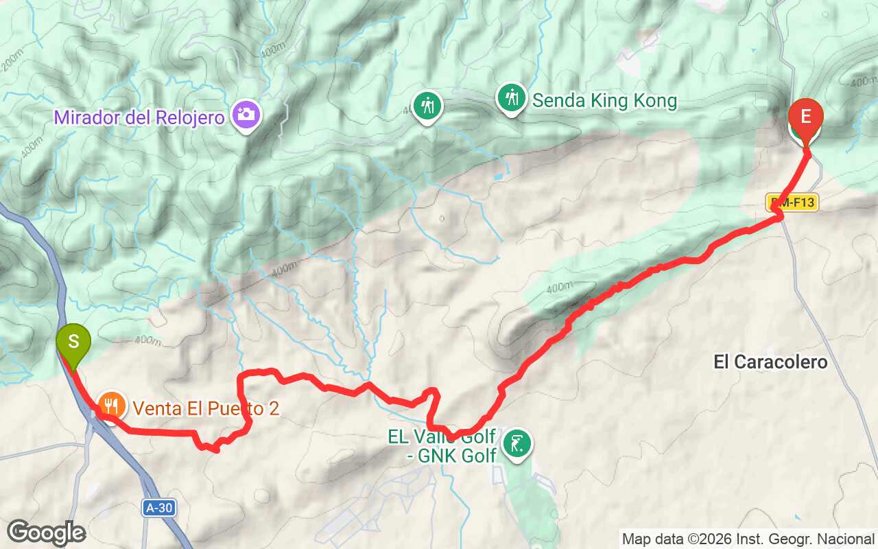
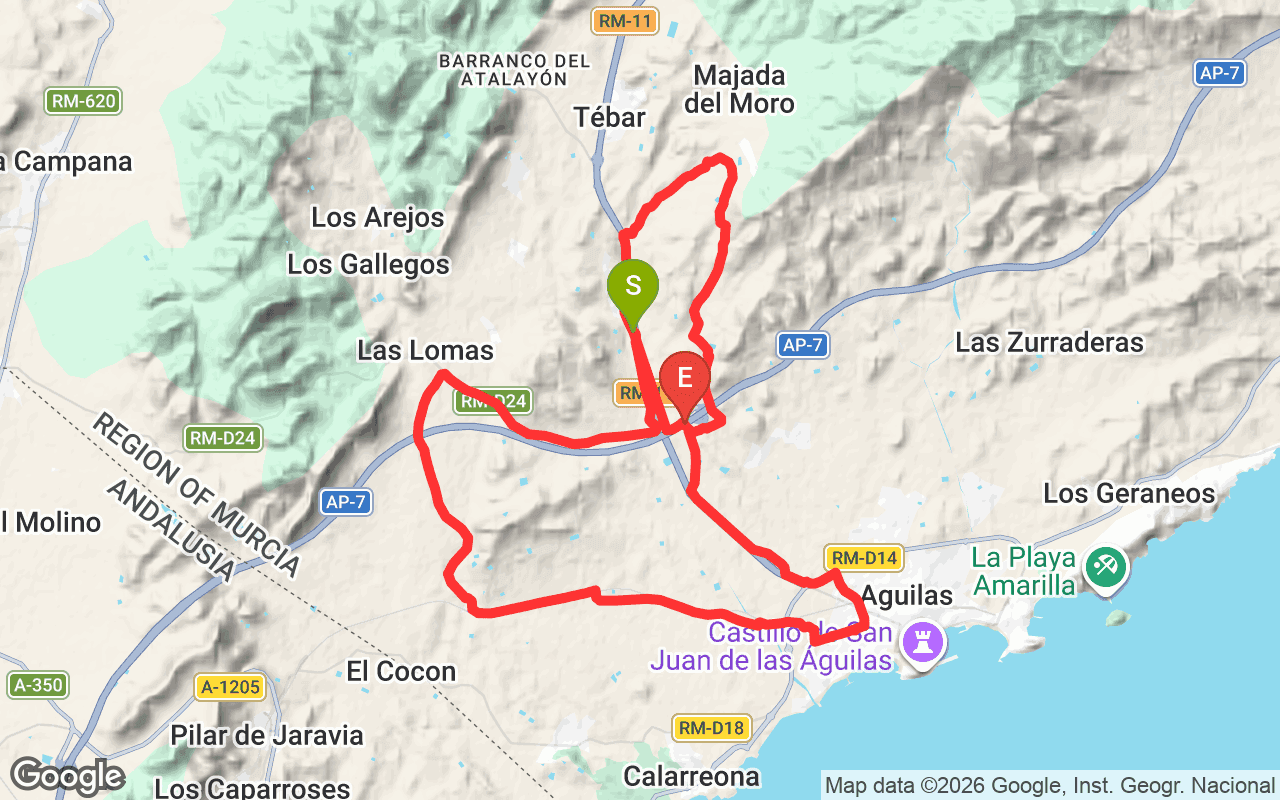
Hiking the Camino del Azahar presents a diverse experience as the trail features varied terrain, including hills and valleys, with an elevation gain of 56,100 meters and an elevation loss of 55,775 meters. The maximum elevation reaches 924 meters, providing hikers with stunning views of the surrounding landscapes. As you traverse the trail, expect to encounter charming villages, ancient churches, and fields of orange blossoms, especially in spring. The trail's difficulty level varies, making it suitable for both seasoned hikers and those looking for a challenge, as the elevation changes can be steep in certain sections.
The entire trail can take approximately 20-25 days to complete, depending on your pace and the sections you choose to hike. It's best to tackle the Camino del Azahar in the spring or fall when the weather is milder. The trailhead access points are well-marked, and you can start from various locations along the route. Be sure to bring plenty of water, snacks, and a good pair of hiking boots, as some sections can be rugged. Additionally, consider carrying a guidebook or map for navigation.
Operator: Asociacion de Amigos del Camino de Santiago en Murcia