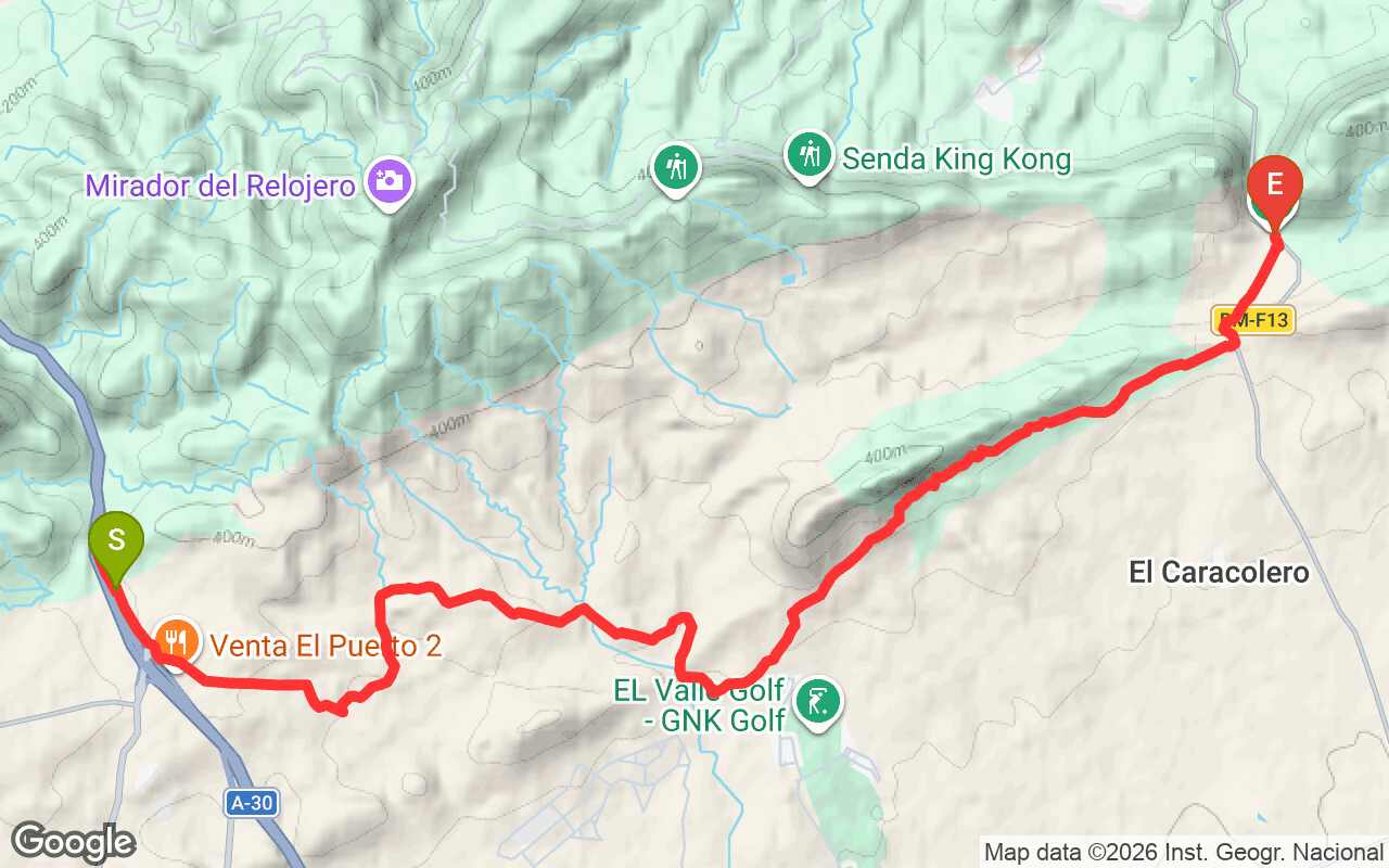
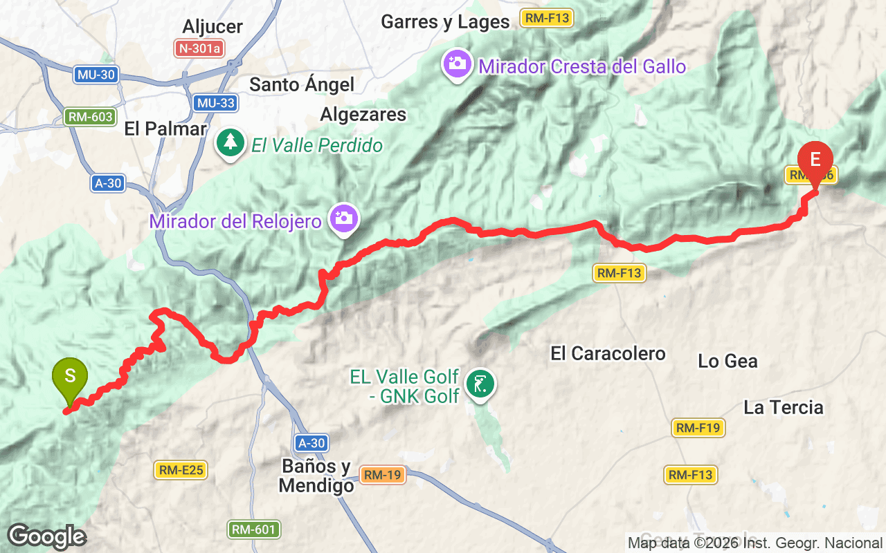
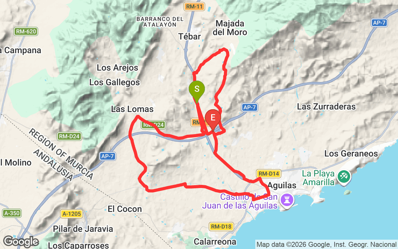
The Variante Antonio Pérez Nortes is a regional hiking trail located in the scenic region of Murcia, Spain. Officially designated as PR-MU 23.1, this trail spans 31.4 kilometers and offers a unique opportunity to explore the diverse landscapes of the area. It is notable for its moderate elevation gain of 592 meters, making it accessible for hikers looking for a rewarding outdoor experience without extreme difficulty.
As you hike along the Variante Antonio Pérez Nortes, you'll encounter a mix of terrain that includes both ascents and descents. The trail starts at an elevation of 253 meters and reaches a maximum height of 367 meters, providing varied views of the surrounding countryside. The elevation changes create a dynamic hiking experience, allowing you to appreciate the natural beauty of the region, including lush vegetation and panoramic vistas. The trail is well-marked, making it easy to navigate while enjoying the sights and sounds of nature.
The total distance of the trail is 31.4 kilometers, and it typically takes around 6 to 8 hours to complete, depending on your pace. A moderate fitness level is recommended due to the elevation changes. The best time to hike this trail is during the spring and fall when temperatures are milder. To access the trailhead, you can drive to the nearest parking area or use public transport options available in the region. Be sure to bring plenty of water, snacks, and appropriate hiking gear to ensure a comfortable and enjoyable experience.
Operator: Federación de Montañismo Región de Murcia
Reference: PR-MU 23.1