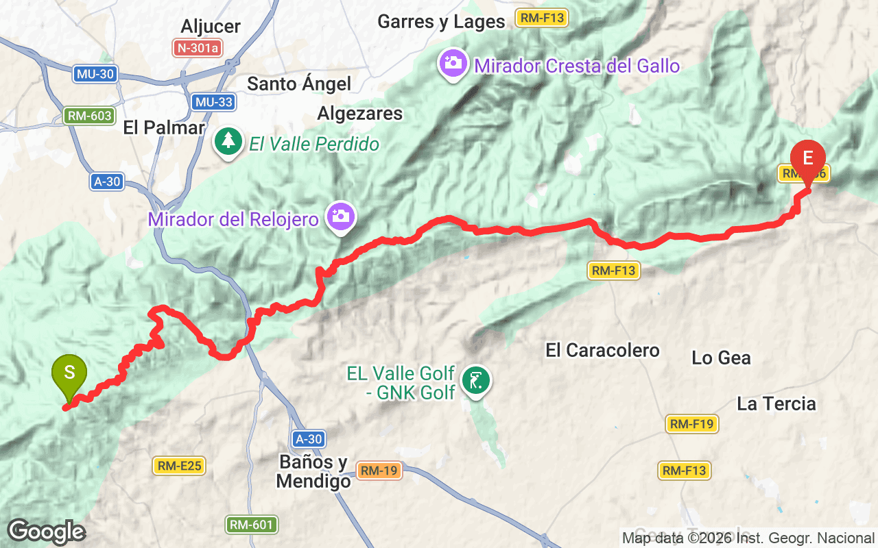
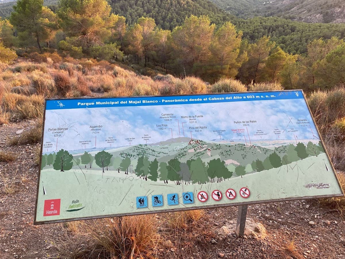
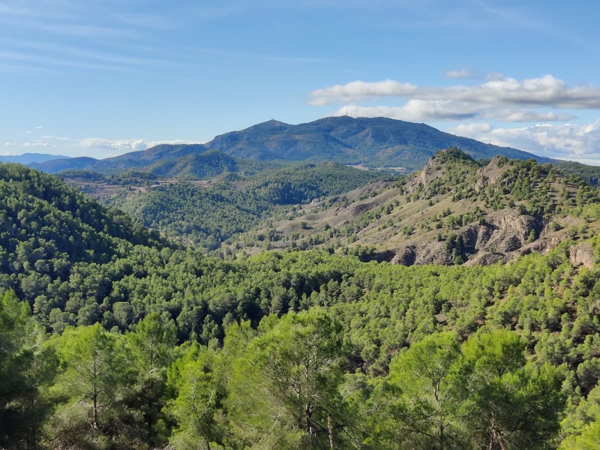
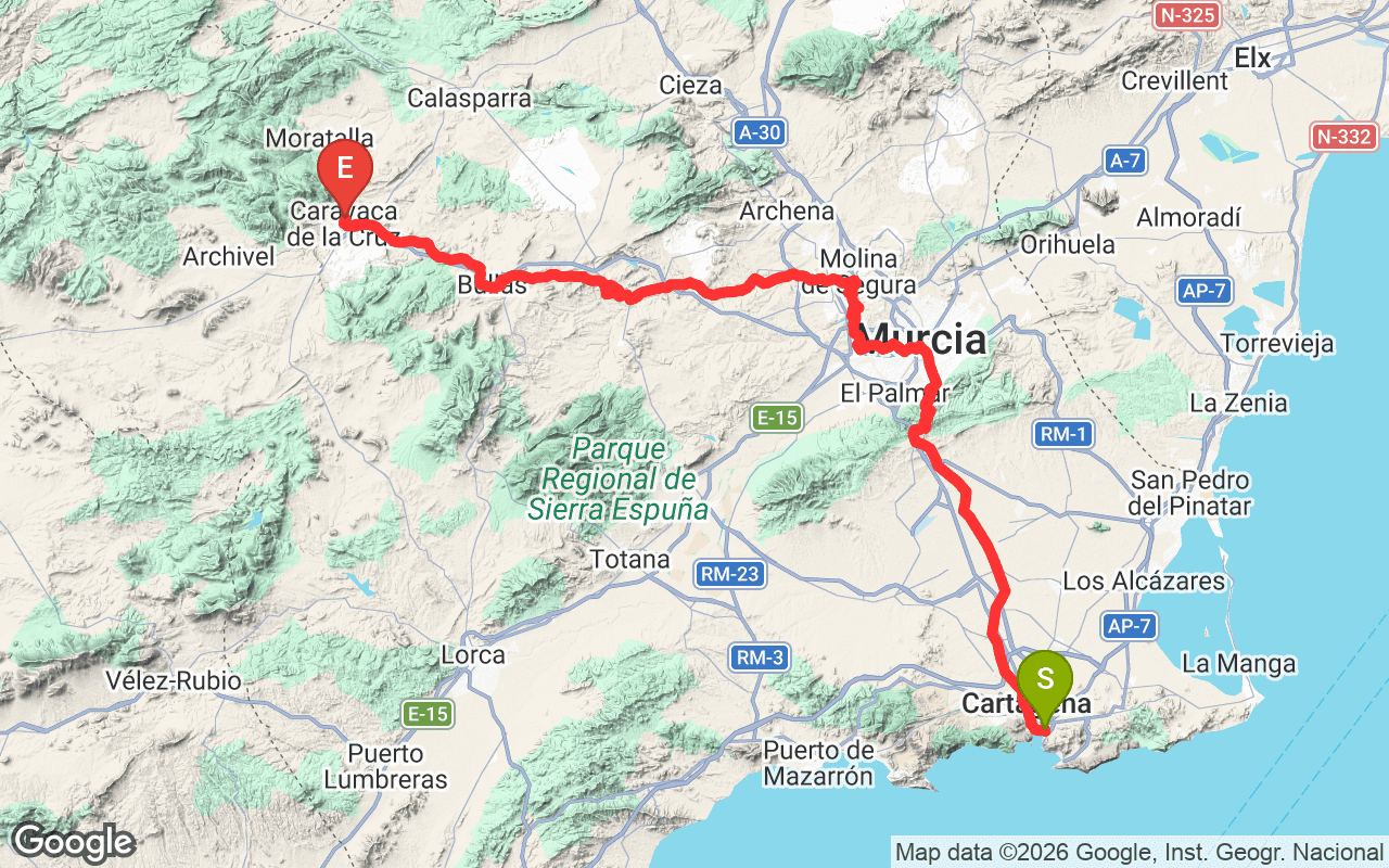
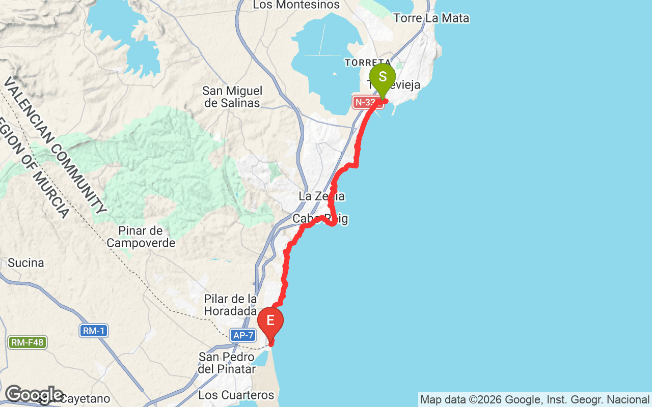
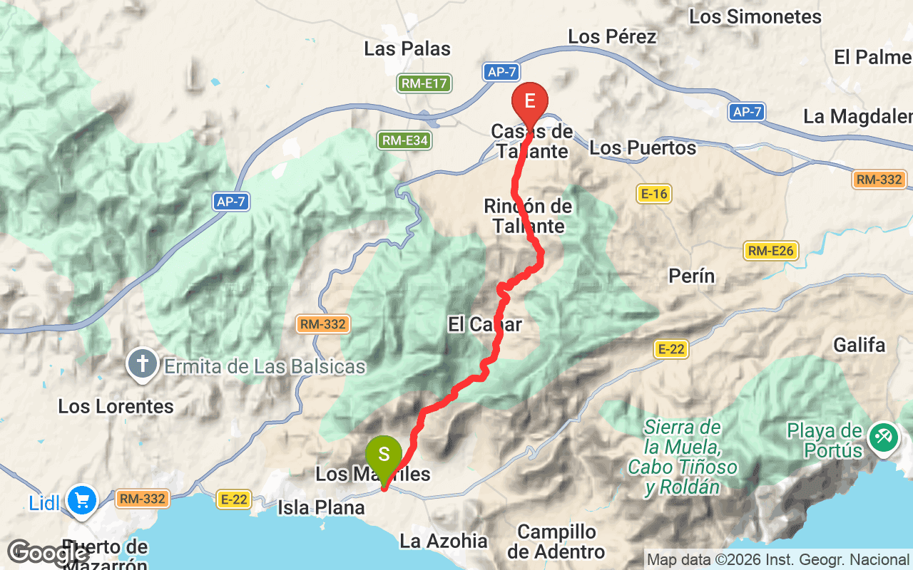
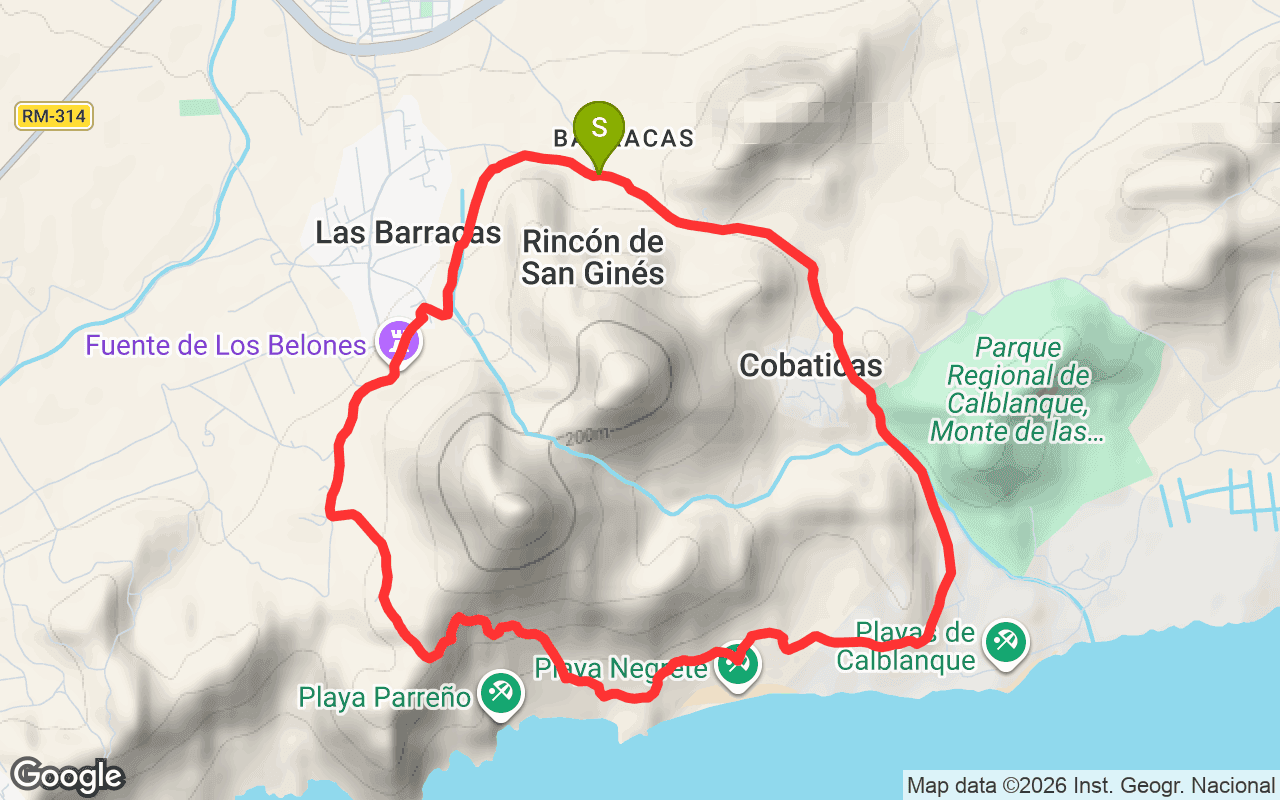
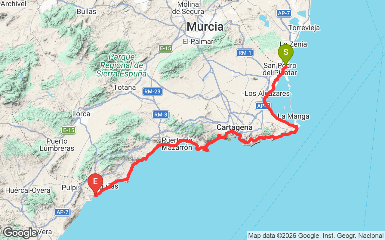
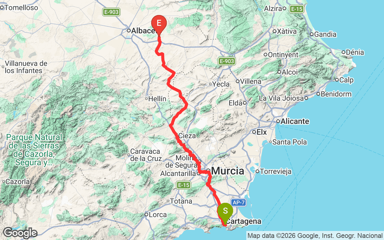
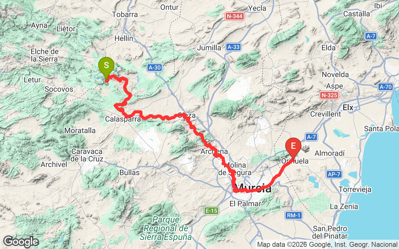
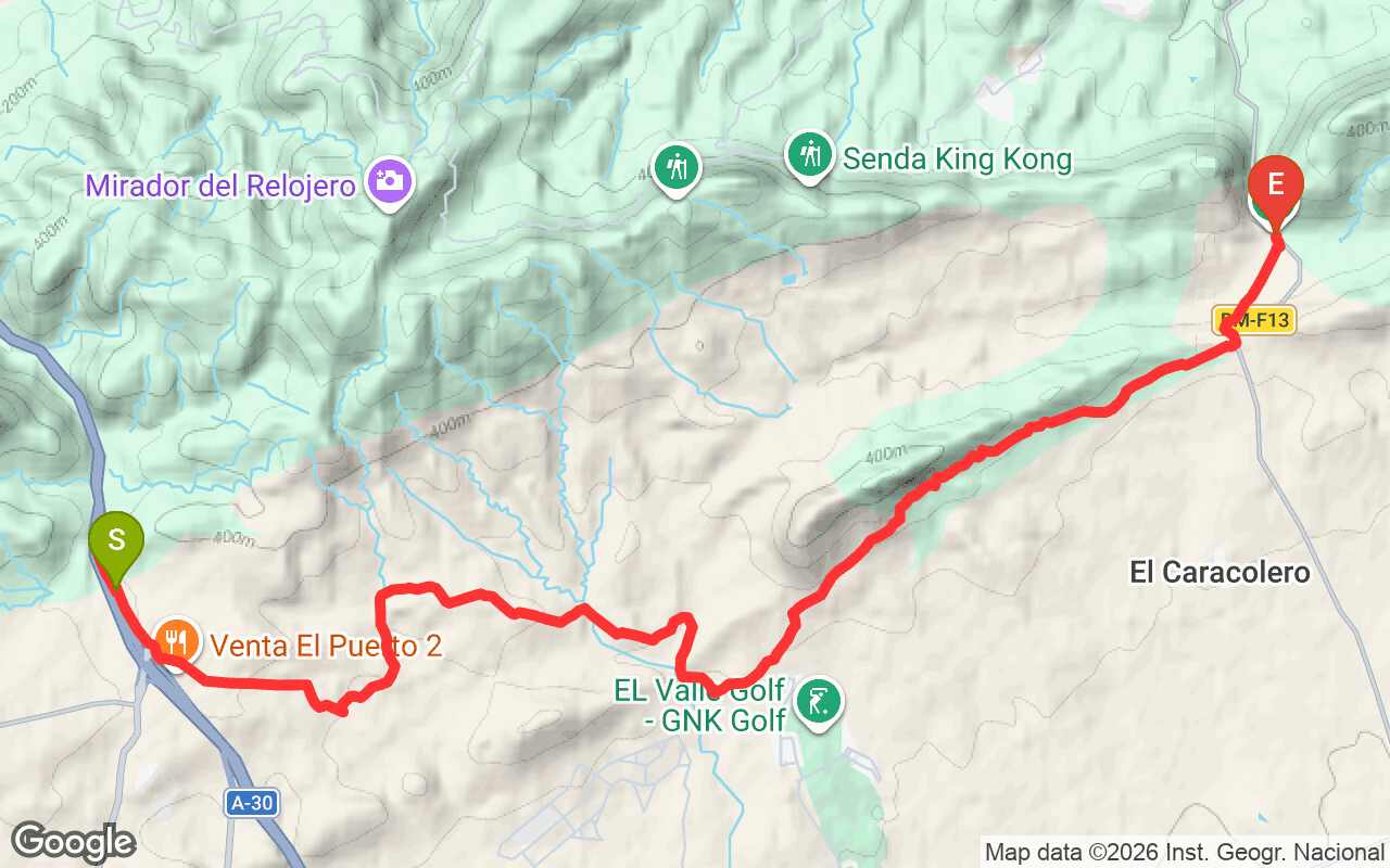
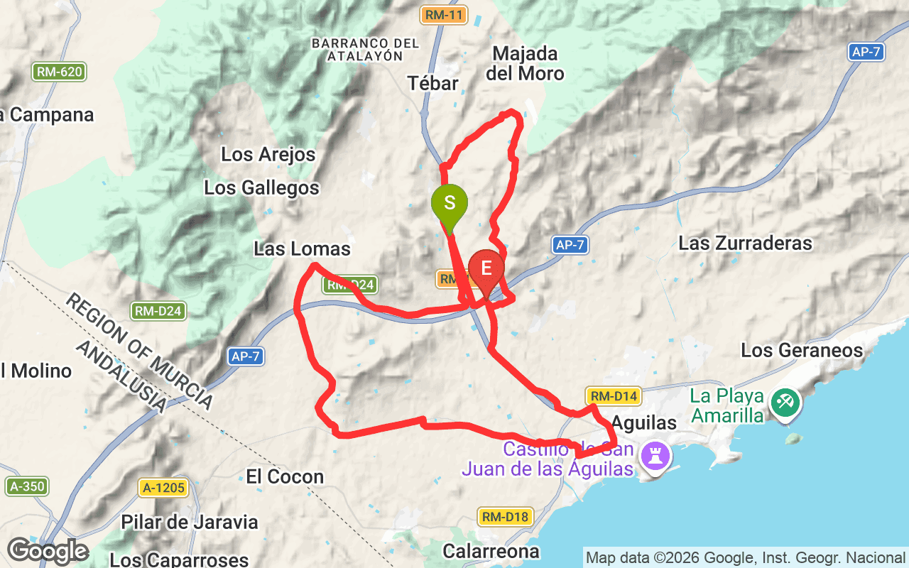
The Antonio Pérez Nortes trail, officially known as PR-MU 23, is a regional hiking trail located in the Murcia region of Spain. This trail spans a total distance of 55.2 kilometers and features an elevation gain of 2,132 meters and an elevation loss of 2,352 meters. It is notable for its varied landscapes, which include rolling hills and stunning views of the surrounding countryside, making it a rewarding experience for those who tackle it.
Hikers on the Antonio Pérez Nortes trail will encounter diverse terrain that ranges from gentle slopes to more challenging ascents and descents. The trail starts at a minimum elevation of 247 meters and reaches a maximum of 577 meters, providing a mix of flat sections and steep climbs. As you progress, you'll notice changes in the landscape, from lush vegetation at lower elevations to more rugged terrain as you ascend. The experience is both physically demanding and visually rewarding, with panoramic views that showcase the beauty of the Murcia region.
This trail is best suited for those with a good fitness level, as it requires stamina and endurance to complete. The estimated duration to hike the entire trail is around 15 to 20 hours, depending on your pace. The best time to visit is during the spring or fall when temperatures are milder. To access the trailhead, you can drive to the starting point, which is well-marked. Make sure to bring plenty of water, snacks, and appropriate hiking gear to ensure a safe and enjoyable experience.
Operator: Federación de Montañismo Región de Murcia
Reference: PR-MU 23