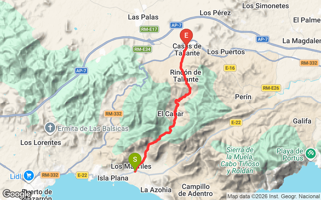
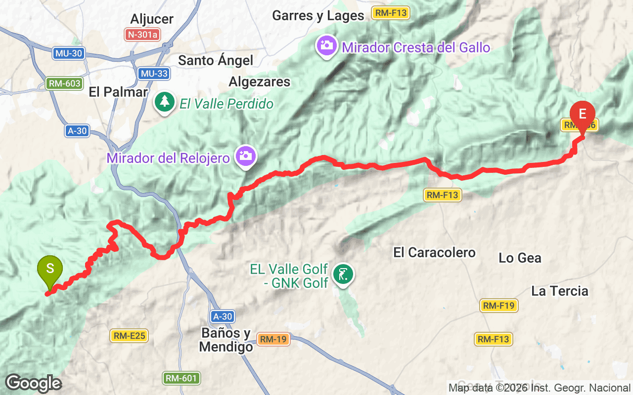
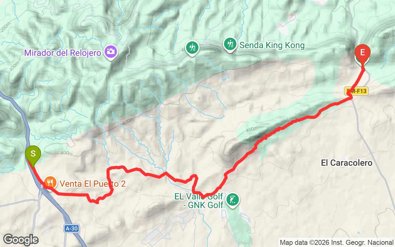
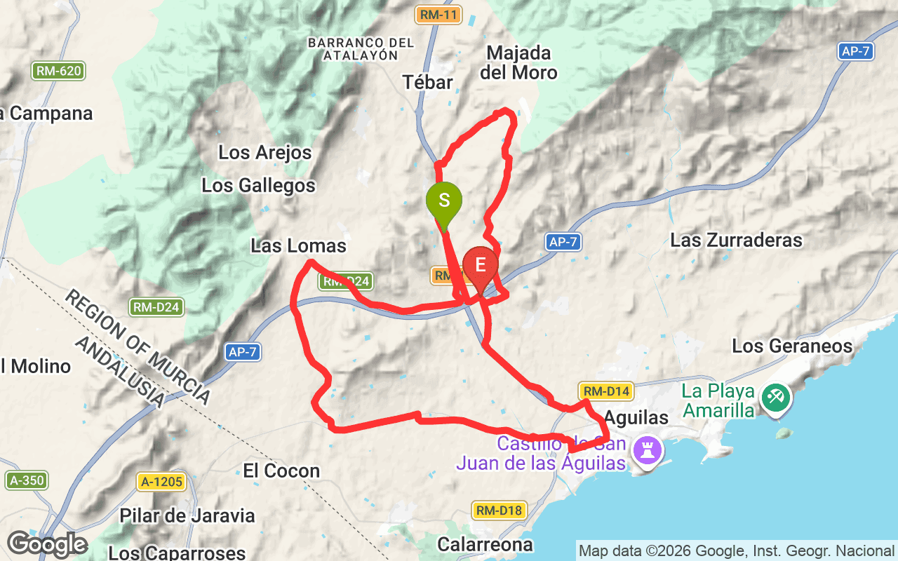
Rambla del Cañar is a regional hiking trail in the Murcia region of Spain, officially designated as PR-MU 7. This trail is notable for its diverse landscapes and challenging elevation changes, making it a favorite among local hikers looking for a rewarding outdoor experience. The trail spans a total distance of 18.1 kilometers, with significant elevation gains and losses that showcase the natural beauty of the area.
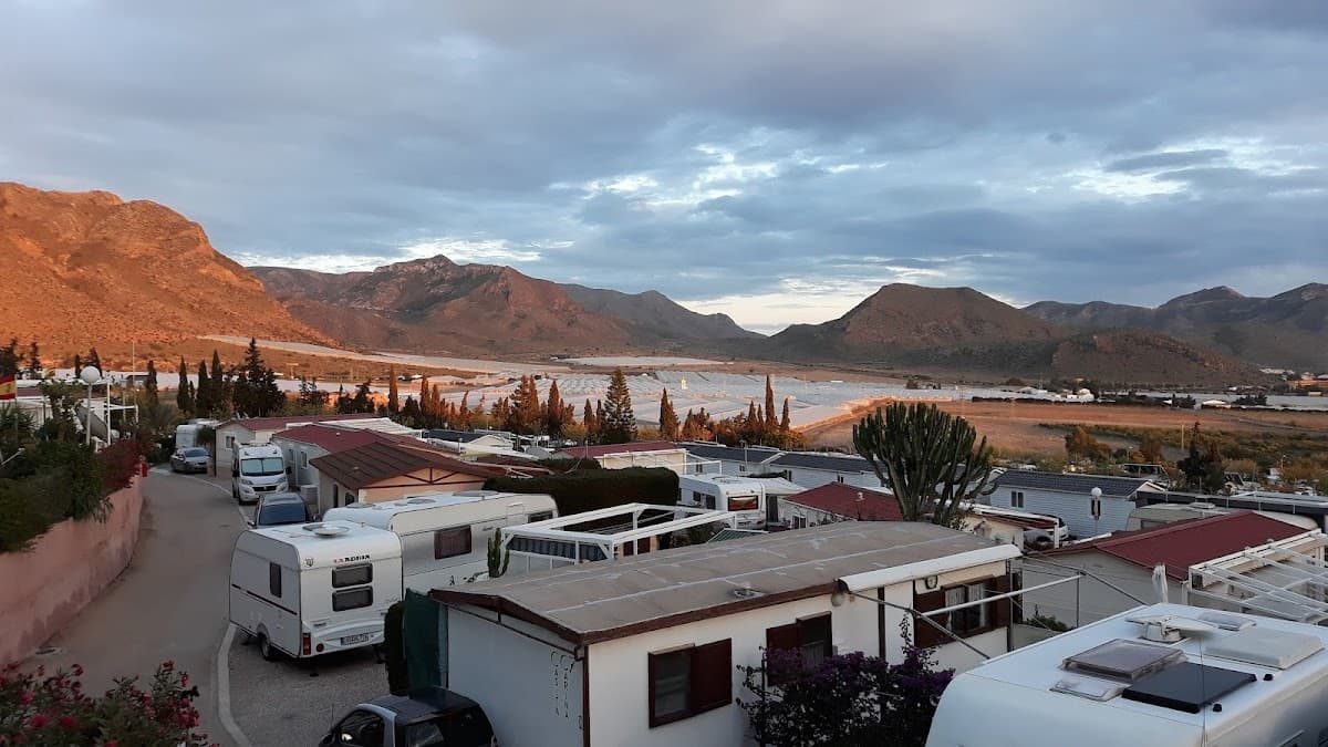
As you hike along Rambla del Cañar, you'll encounter a variety of terrains, including rocky paths and gentle slopes. The trail begins at a minimum elevation of 29 meters and ascends to a maximum of 339 meters, providing stunning views of the surrounding landscape. The elevation gain of 1135 meters and loss of 1196 meters means that hikers will experience both uphill climbs and downhill descents, making it a moderately challenging hike. Along the way, you can expect to see unique flora and fauna, as well as panoramic vistas that are especially beautiful during sunrise or sunset.
The trail is best suited for those with a moderate fitness level, and it typically takes around 5 to 6 hours to complete. The best time to hike Rambla del Cañar is during the cooler months from October to April, avoiding the heat of summer. To access the trailhead, you can drive to the nearest town and follow local signs to the starting point. Be sure to bring plenty of water, snacks, and a good pair of hiking boots, as the terrain can be uneven.
Operator: Federación de Montañísmo Región de Murcia
Reference: PR-MU 7