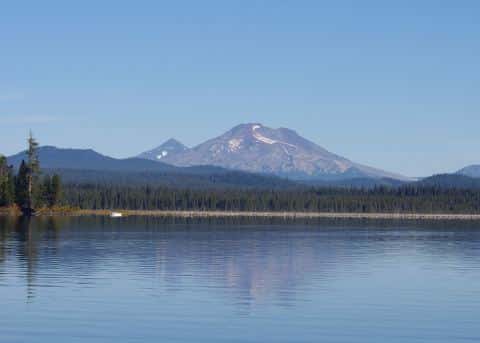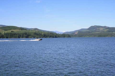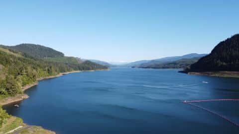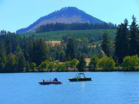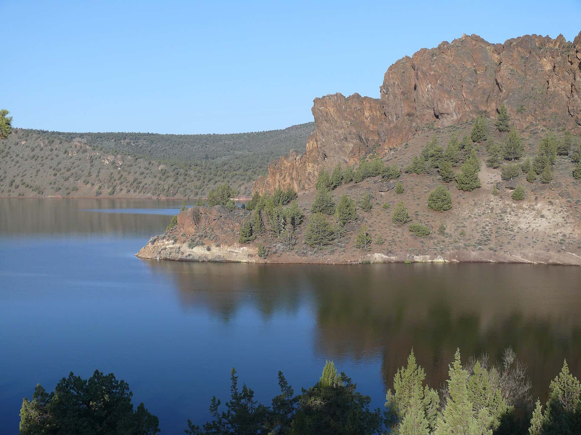
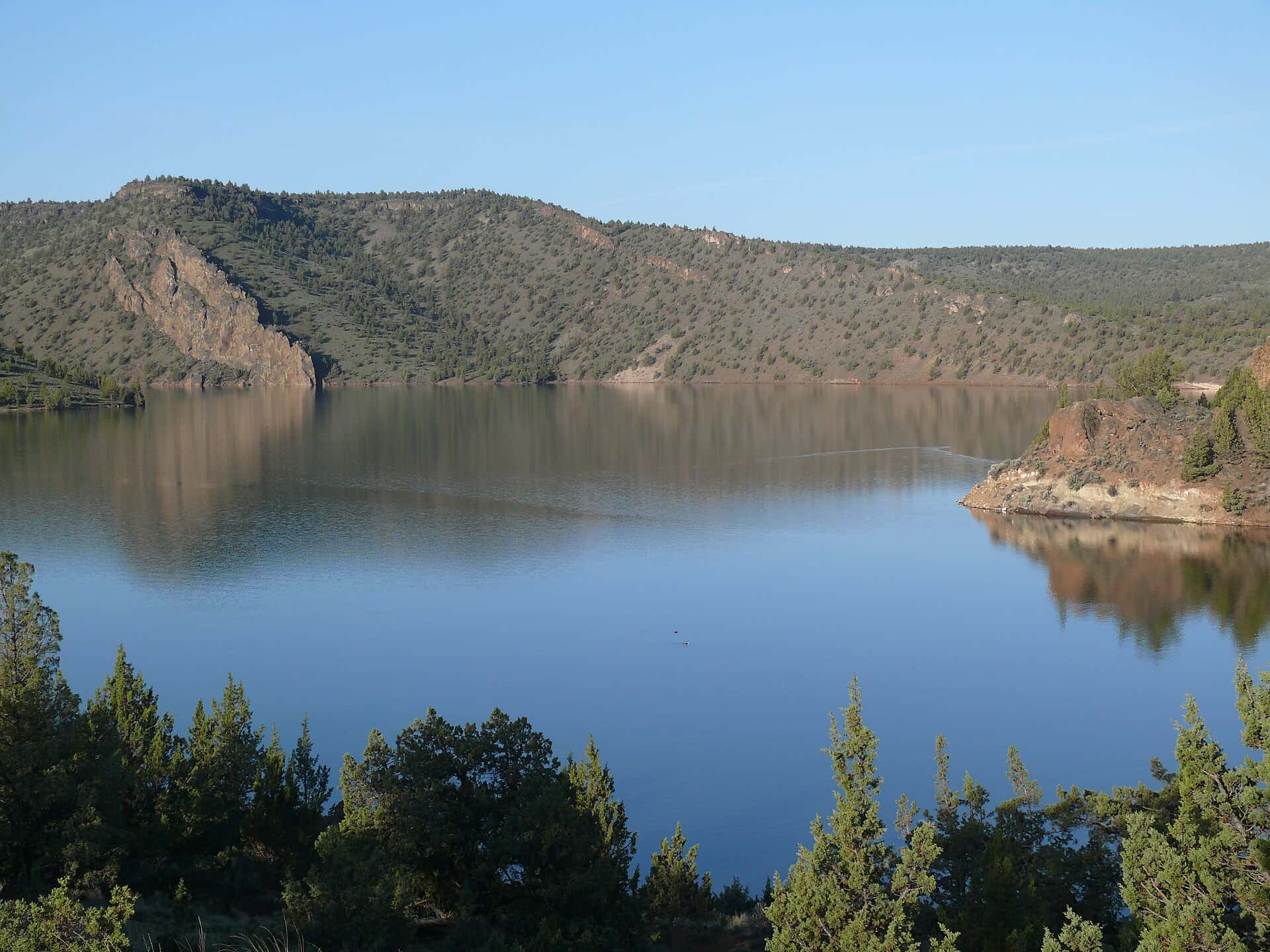
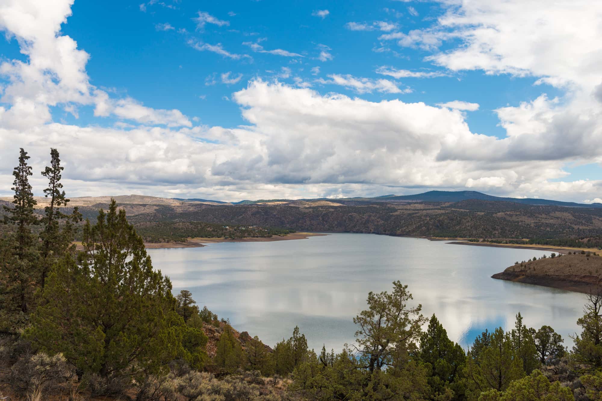
Prineville Reservoir fishing: Largemouth Bass, Smallmouth Bass
Target species: Largemouth Bass, Smallmouth Bass
Boat: 4 ramps and launches on file for this water.
Start here: Launch at Prineville Reservoir State Park, 2 lanes.
The reservoir
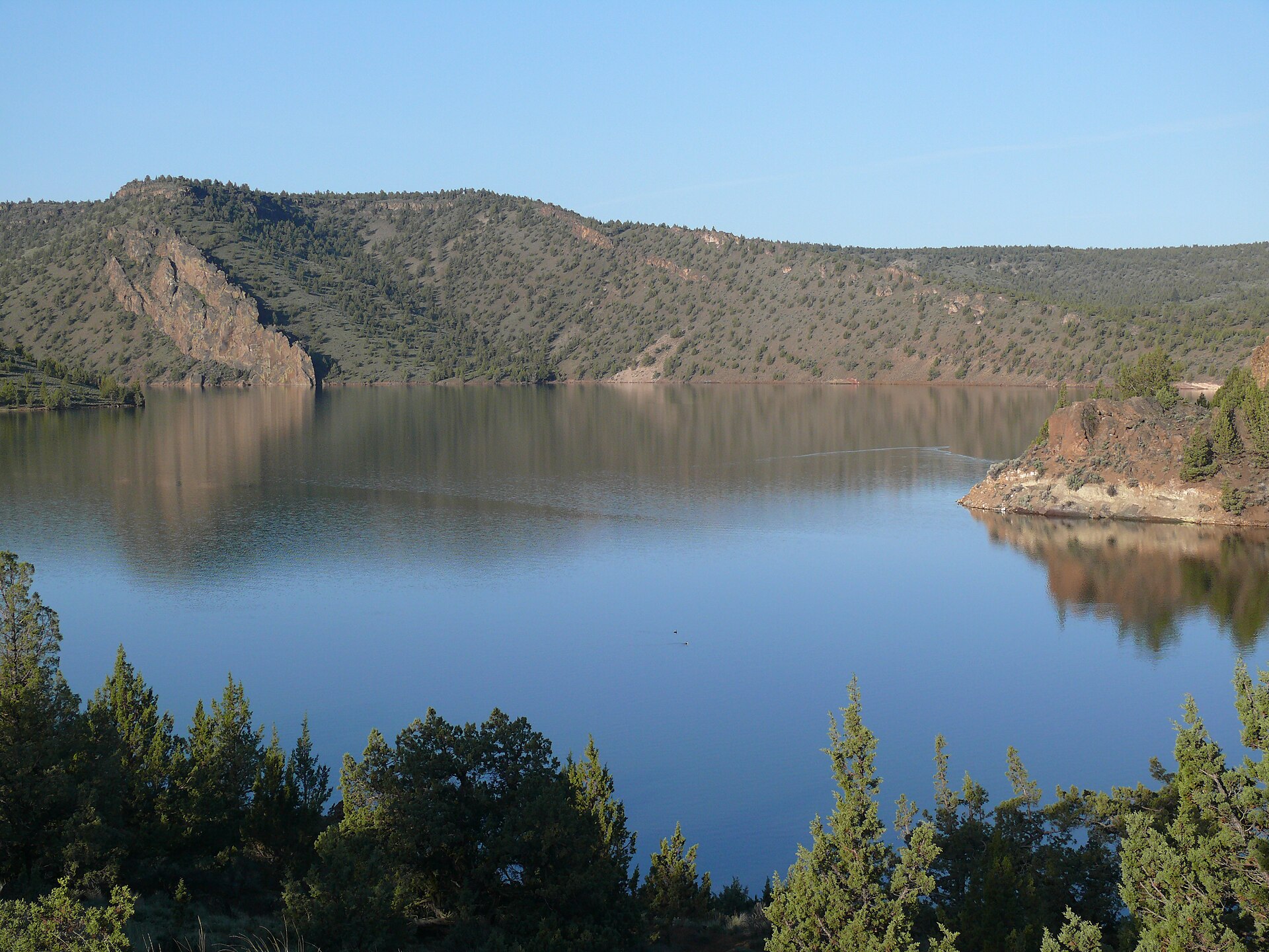
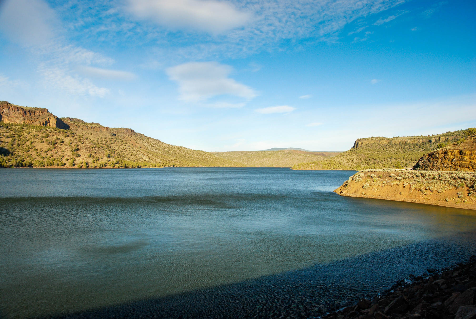
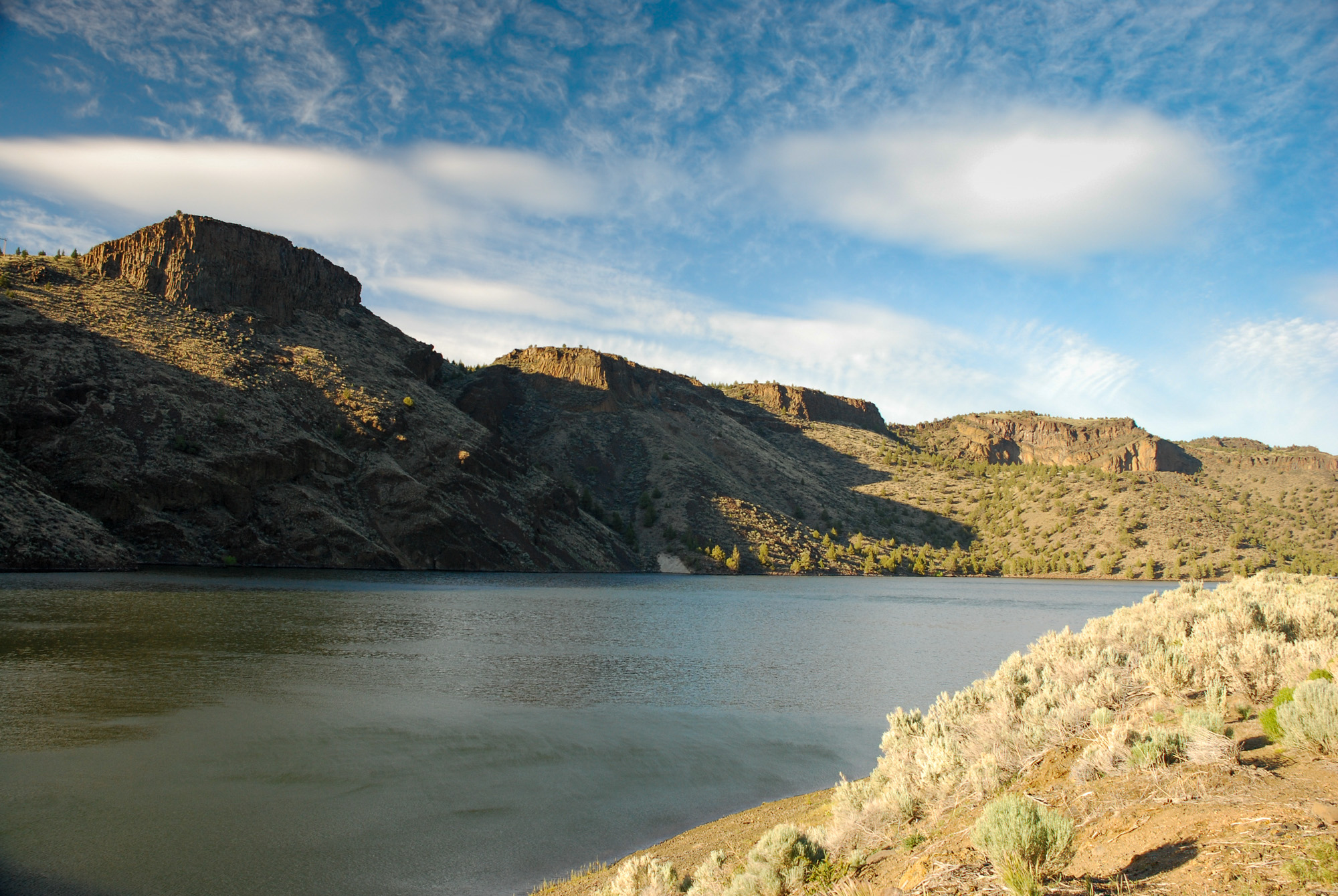
Prineville Reservoir covers 2,943 acres in Oregon, across Crook County. It is a reservoir: 92.5% of it is 90 feet deep or less; the deepest point measured is ≈134 feet (40.8 m). Our records hold 3 species for this water.
Depth and bottom
Deepest measured point: ≈134 ft (40.8 m). 92.5% of the water is 90 feet or shallower. We hold 76 depth contours for this water, drawn from 35,603 soundings.
- 0–10 ft: 26.8% of the water
- 10–20 ft: 12.9% of the water
- 20–30 ft: 10.3% of the water
- 30–40 ft: 8.4% of the water
- 40–50 ft: 10% of the water
- 50–60 ft: 7.5% of the water
- 60–70 ft: 5.9% of the water
- 70–80 ft: 6.1% of the water
- 80–90 ft: 4.6% of the water
- 90–100 ft: 3.3% of the water
- 100–110 ft: 1.8% of the water
- 110–120 ft: 2% of the water
- 120–130 ft: 0.6% of the water
2 target fish, led by Largemouth Bass
- Largemouth Bass — Feeding water: 65–85°F.
- Smallmouth Bass — Feeding water: 60–75°F.
Also recorded here: Brown Bullhead.
Water and conditions
Our water temperature readings average 55°F; they do not cover the whole year, so this is not a yearly average. pH averages 7.9. These readings span 2017–2026.
4 ramps and launches on this water
On this water we hold 3 trailer ramps and 1 boat ramp.
- Prineville Reservoir State Park — 2 lanes, restrooms. Oregon Parks and Recreation Department. phone 800-551-6949 · website oregon.gov/oprd/pages/index.aspx
- County Boat Ramp Day Use — 1 lane, restrooms. Crook County Parks and Recreation District. phone 541-447-1209 · website ccprd.org
- Roberts Bay West — 1 lane, restrooms. Oregon Parks and Recreation Department. phone 800-551-6949 · website oregon.gov/oprd/pages/index.aspx
- Prineville Reservoir Resort — restrooms. Private. phone 541-447-7468
Fee and opening hours are blank for all 4 places in this list: a blank means we hold no such field, not that it is free or always open, and this list may not be complete.
What is hard here
Only 4 public ramps are on file, so the launch decides where you fish.
Where this data comes from
- US Bureau of Reclamation — USBR reservoir sedimentation surveys: class A, a survey of the bottom, 1998.
Part of these depths rest on an averaged water level, so they are approximate (≈).