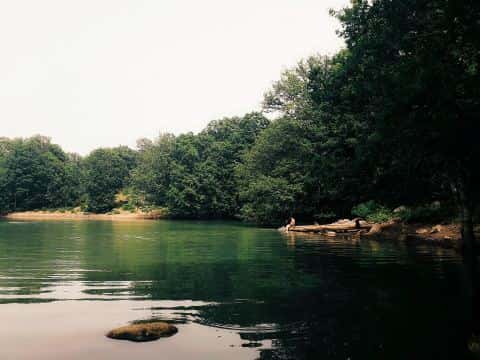
Netarts Bay fishing: Chinook Salmon
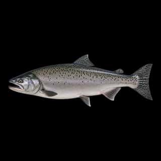
Target species: Chinook Salmon
Boat: 1 ramp or launch on file for this water.
Start here: Launch at Netarts Landing, 1 lane.
The bay
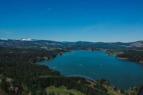
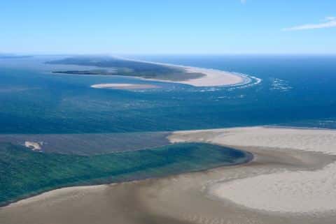
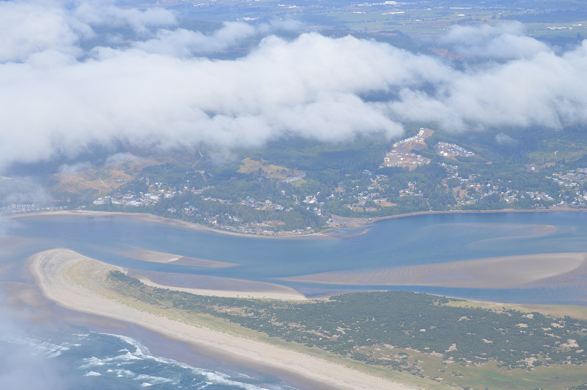
Netarts Bay covers 2,330 acres in Oregon, across Tillamook County. It is a bay: the deepest point measured is at least 19 feet (5.8 m). Our records hold 3 species for this water.
Depth and bottom
Deepest measured point: at least 19 ft (5.8 m). That is the deepest contour line: the bottom goes deeper. We hold 114 depth contours for this water, drawn from 71 soundings.
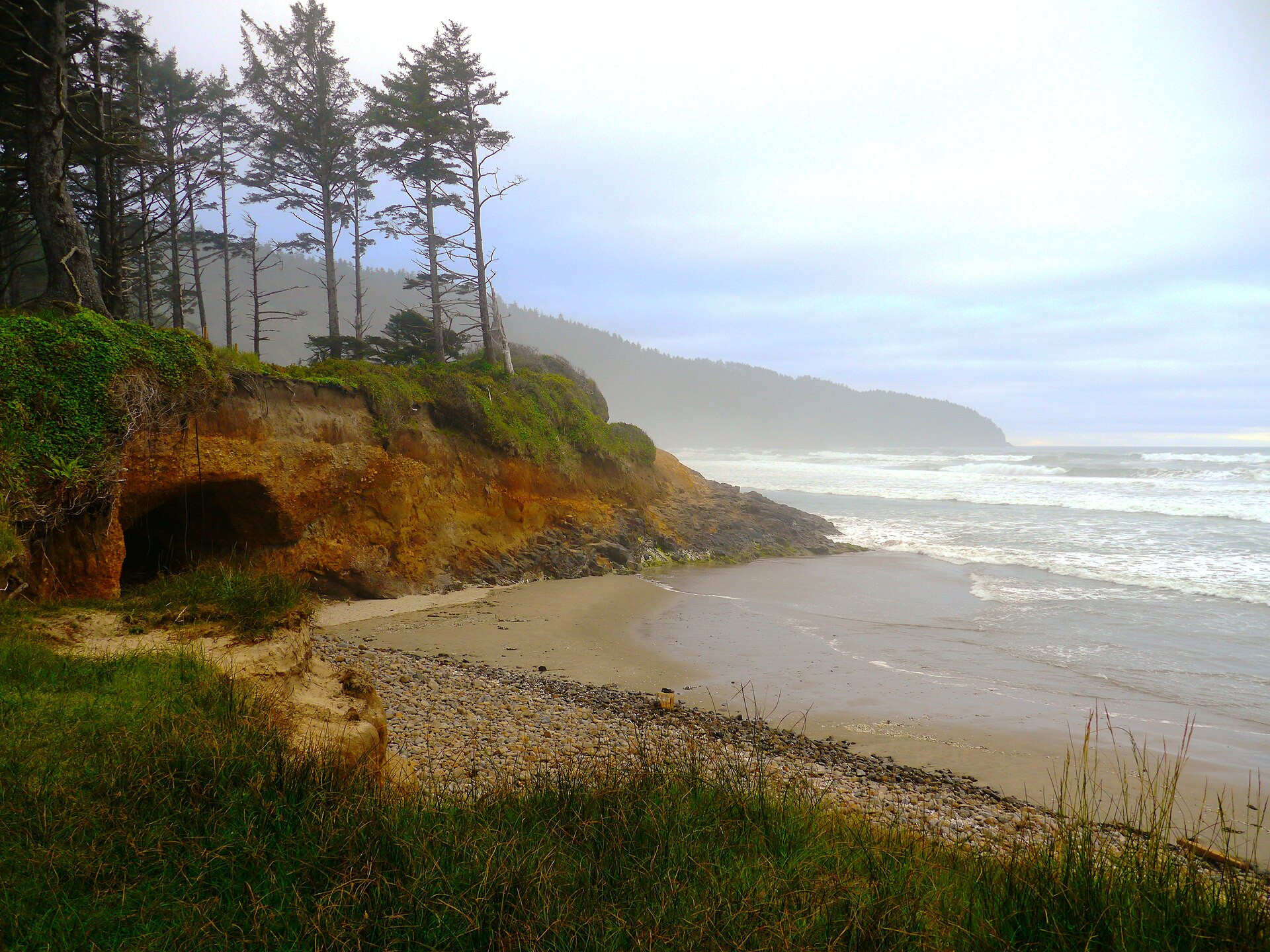
The target fish: Chinook Salmon
- Chinook Salmon — Feeding water: 50–60°F.
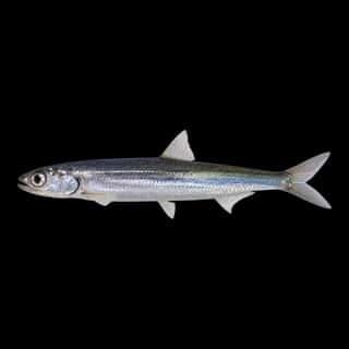
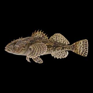
Also recorded here: Northern Anchovy, Prickly Sculpin.
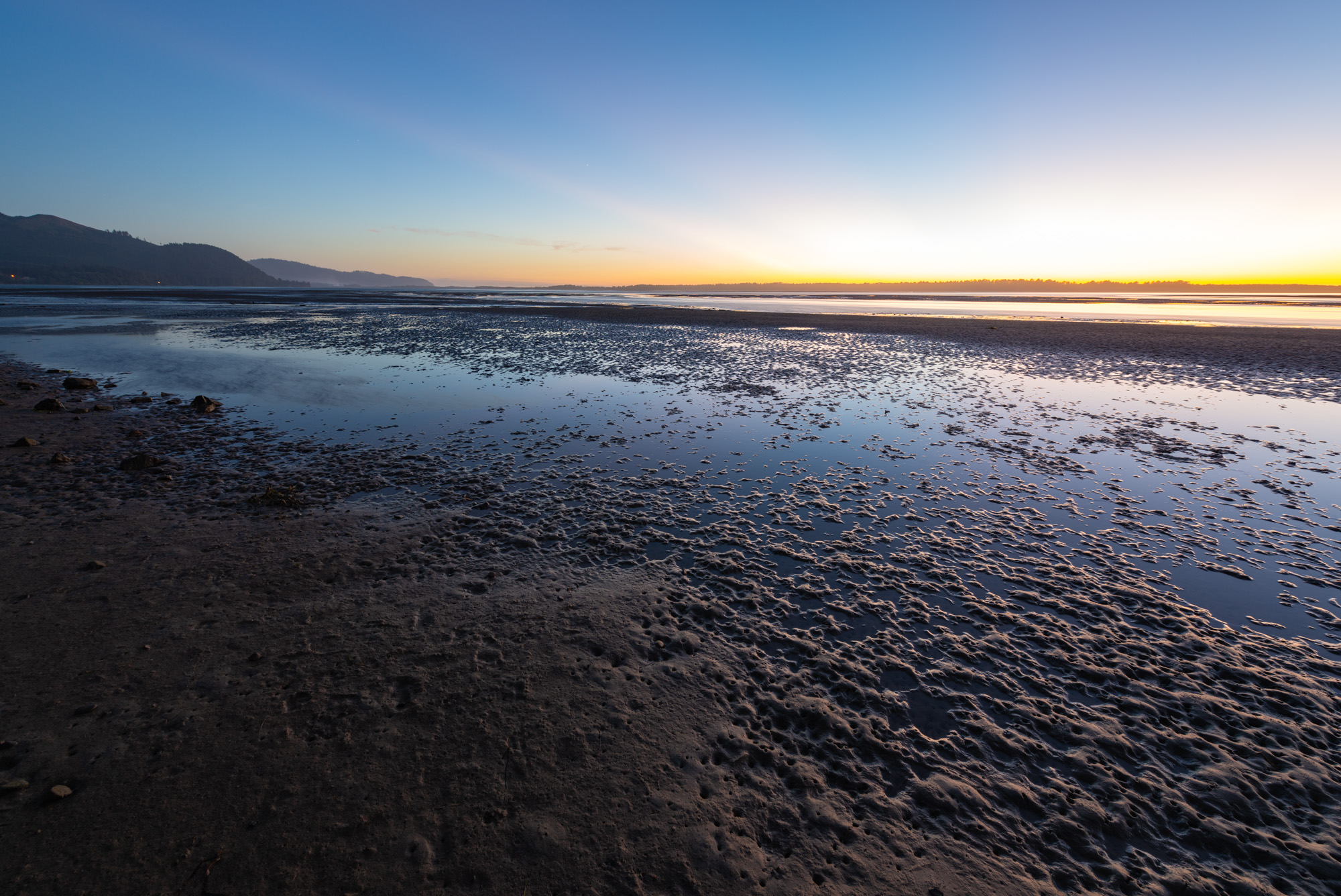
1 ramp or launch on this water
On this water we hold 1 trailer ramp.
- Netarts Landing — 1 lane, restrooms. Tillamook County. phone 503-322-3477 · website co.tillamook.or.us/parks/page/boat-launches
The place listed has no fee or opening hours on file: a blank means we hold no such field, not that it is free or always open, and this list may not be complete.
What is hard here
Only 1 public ramp is on file, so the launch decides where you fish.
Where this data comes from
- NOAA National Bathymetric Source (S-102 ed3.0.0) — NOAA S-102 bathymetric surfaces: contours: class A, a survey of the bottom.
- NOAA ENC — NOAA Electronic Navigational Charts: soundings: class A, a survey of the bottom.
- NOAA ENC — NOAA Electronic Navigational Charts: depth contours: class A, a survey of the bottom.