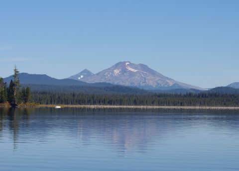
Coos Bay fishing: Black Rockfish, Copper Rockfish, Chinook Salmon
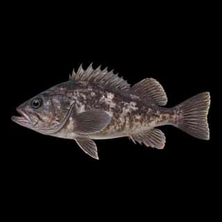
Target species: Black Rockfish, Copper Rockfish, Chinook Salmon, Shiner Perch, Topsmelt
Best months: Apr, May, Jun, Oct for Black Rockfish
Second window: Apr, May, Jun, Oct for Copper Rockfish
Boat: 17 ramps and launches on file for this water.
Start here: Launch at Charleston Boat Basin Ramp, 6 lanes.
The bay
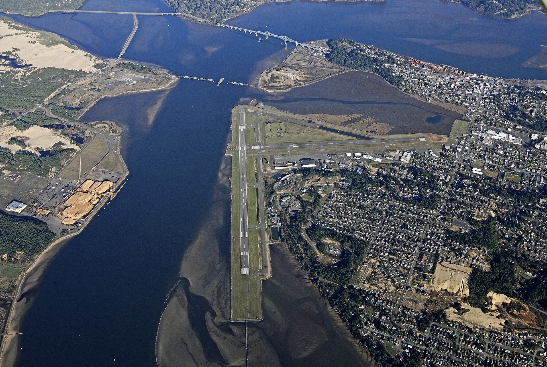
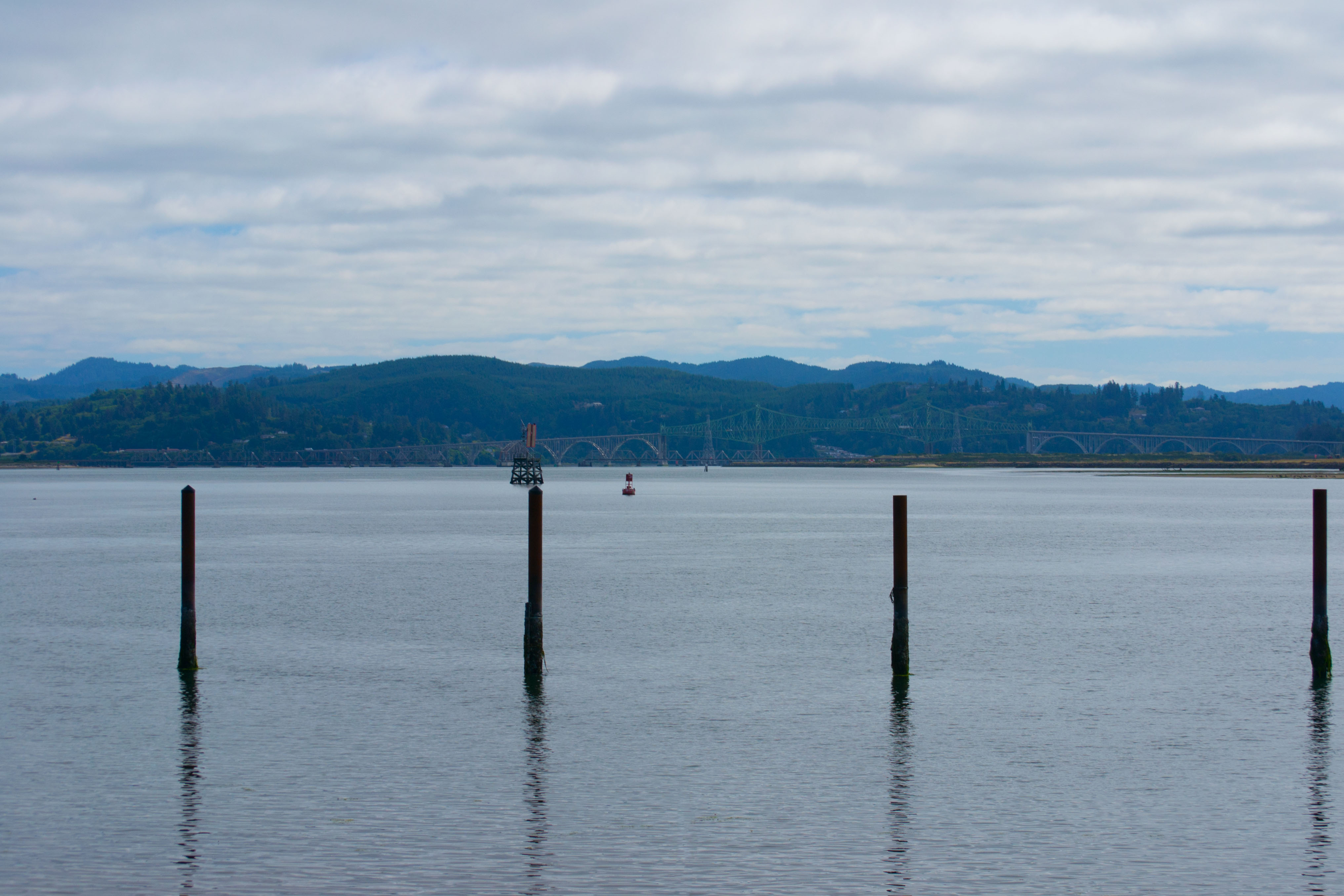
Coos Bay covers 22,522 acres in Oregon, across Coos County. It is a bay: the deepest point measured is 70.4 feet (21.5 m). Our records hold 5 species for this water.
Depth: down to 70.4 ft at the deepest measured point
Deepest measured point: 70.4 ft (21.5 m). We hold 162 depth contours for this water, drawn from 71,648 soundings.
5 target fish, led by Black Rockfish
- Black Rockfish — Best months: Apr, May, Jun, Oct.
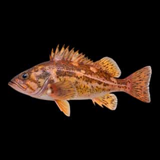
- Copper Rockfish — Best months: Apr, May, Jun, Oct.
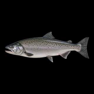
- Chinook Salmon — Best months: Apr, May, Jun, Oct.
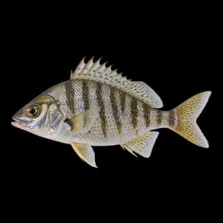
- Shiner Perch — Best months: Sep.
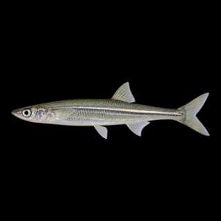
- Topsmelt — Best months: Sep.
17 ramps and launches on this water
On this water we hold 12 trailer ramps, 3 boat ramps and 2 hand launches.
- Charleston Boat Basin Ramp — 6 lanes, restrooms. Port of Coos Bay. phone 541-888-2548 · website portofcoosbay.com
- Eastside Ramp — 2 lanes, restrooms. phone 541-888-5515 · website coosbay.org
- Empire Ramp — 2 lanes, restrooms. phone 541-269-8918 · website coosbay.org
- Myrtle Tree — 2 lanes, restrooms. Oregon Department of Fish and Wildlife. phone 541-396-7759 · website co.coos.or.us/Departments/CoosCountyParks.aspx
- North Spit — 2 lanes, restrooms. Bureau of Land Management. phone 541-756-0100 · website blm.gov/oregon-washington
- California Street Boat Ramp — 1 lane, restrooms. phone 541-756-8500 · website northbendoregon.us
- Conde B. McCullough S.R.S. Wayside — 1 lane. Oregon Parks and Recreation Department. phone 800-551-6949 · website oregon.gov/oprd/pages/index.aspx
- Doris Place — 1 lane, restrooms. Oregon Department of Fish and Wildlife. phone 541-396-7759 · website co.coos.or.us/Departments/CoosCountyParks.aspx
- Green Acres — 1 lane. On Isthmus Slough, Oregon Department of Fish and Wildlife. phone 800-720-6339 · website dfw.state.or.us
- Hinch Bridge Launch — 1 lane. On Winchester Creek, South Slough National Estuarine Research Center. phone 541-888-5558 · website oregon.gov/dsl/SS/Pages/About.aspx
Car-top and kayak launches — no trailer
- Catching Slough
- Charleston South Slough Paddle Launch — Port of Coos Bay. phone 541-267-7678 · website portofcoosbay.com
Fee and opening hours are blank for all 12 places in this list: a blank means we hold no such field, not that it is free or always open, and this list may not be complete.
Water and conditions
Water temperature averages 55°F across the year. The coldest single reading we hold is 38°F and the warmest is 74°F; the warmest monthly average is 60°F. pH averages 7.7. These readings span 2016–2026.
Monthly average water temperature: Jan 51°F · Feb 50°F · Mar 50°F · Apr 53°F · May 55°F · Jun 57°F · Jul 59°F · Aug 59°F · Sep 60°F · Oct 55°F · Nov 52°F · Dec 51°F
Season by season
- Winter (Nov, Dec, Jan, Feb, Mar, 50–52°F) — Steady but no peak: Black Rockfish, Copper Rockfish, Chinook Salmon, Shiner Perch.
- Spring (Apr, May, Jun, 53–57°F) — Biting: Black Rockfish, Copper Rockfish, Chinook Salmon.
- Summer (Jul, Aug, Sep, 59–60°F) — Biting: Shiner Perch, Topsmelt.
- Fall (Oct, 55–55°F) — Biting: Black Rockfish, Copper Rockfish, Chinook Salmon.
What is hard here
Wind is the limit, not the fish: 22,522 acres of open water build a short steep chop, and there is no shelter in the middle. Winter water drops to 50°F, and the warm-water species stop feeding well before you do.
Where this data comes from
- USACE eHydro — USACE eHydro channel surveys: class A, a survey of the bottom.
- NOAA NOS Hydro — NOAA NOS hydrographic survey archive: class A, a survey of the bottom.
- NOAA ENC — NOAA Electronic Navigational Charts: soundings: class A, a survey of the bottom.
- NOAA ENC — NOAA Electronic Navigational Charts: depth contours: class A, a survey of the bottom.
- NOAA National Bathymetric Source (S-102 ed3.0.0) — NOAA S-102 bathymetric surfaces: contours: class A, a survey of the bottom.