Blackfoot Reservoir fishing: Rainbow Trout, Cutthroat Trout
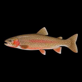
Target species: Rainbow Trout, Cutthroat Trout
Boat: 4 ramps and launches on file for this water.
Start here: Launch at Dike Lake (Blackfoot Reservoir).
The reservoir
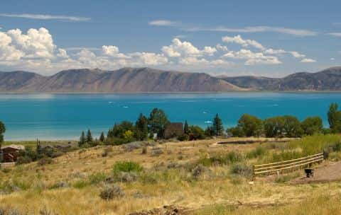
Blackfoot Reservoir covers 16,464 acres in Idaho, across Caribou County. It is a reservoir: 90.9% of it is 26 feet deep or less; the deepest point measured is 34.4 feet (10.5 m). Our records hold 3 species for this water.
Depth: down to 34.4 ft at the deepest measured point
Deepest measured point: 34.4 ft (10.5 m). 90.9% of the water is 26 feet or shallower. We hold 460 depth contours for this water, drawn from 448,827 soundings.
- 0–2 ft: 2.4% of the water
- 2–4 ft: 1.9% of the water
- 4–6 ft: 2.2% of the water
- 6–8 ft: 2.7% of the water
- 8–10 ft: 3.5% of the water
- 10–12 ft: 4.4% of the water
- 12–14 ft: 5.2% of the water
- 14–16 ft: 6% of the water
- 16–18 ft: 6.6% of the water
- 18–20 ft: 7.1% of the water
- 20–22 ft: 9.6% of the water
- 22–24 ft: 14.4% of the water
- 24–26 ft: 24.9% of the water
- 26–28 ft: 7.5% of the water
- 28–30 ft: 1.7% of the water
Stocking: 39,999,261 fish, 1997–2026
Idaho Department of Fish and Game records list 39,999,261 fish released into this water from 1997 to 2026.
- Rainbow Trout: 28,786,814 in 2007–2026
6 more species on the stocking list.
2 target fish, led by Rainbow Trout
- Rainbow Trout — Feeding water: 50–65°F.
- Cutthroat Trout — Feeding water: 50–65°F.
Also recorded here: Common Carp.
4 ramps and launches on this water
On this water we hold 4 boat ramps.
- Dike Lake (Blackfoot Reservoir) — restrooms.
- Hopkins Landing — restrooms.
- Pebble Beach — restrooms.
- Poison Creek
Fee and opening hours are blank for all 4 places in this list: a blank means we hold no such field, not that it is free or always open, and this list may not be complete.
What is hard here
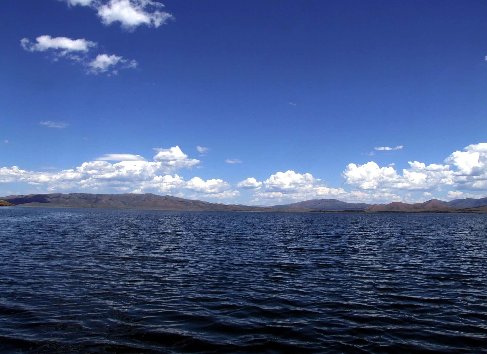
Wind is the limit, not the fish: 16,464 acres of open water build a short steep chop, and there is no shelter in the middle.
Where this data comes from
- USGS — USGS reservoir bathymetric surveys (ScienceBase): class A, a survey of the bottom, 2011.