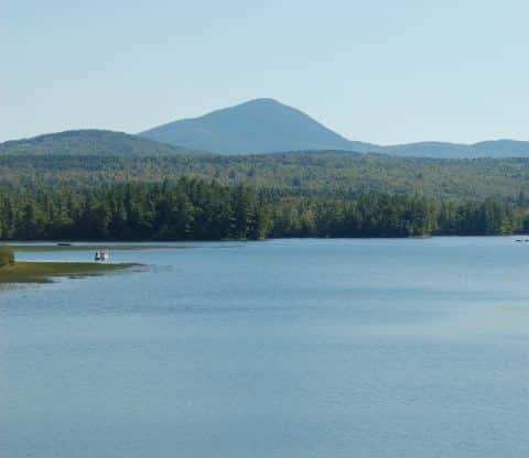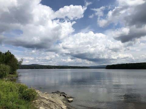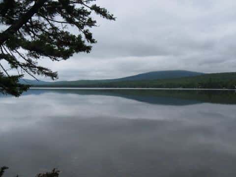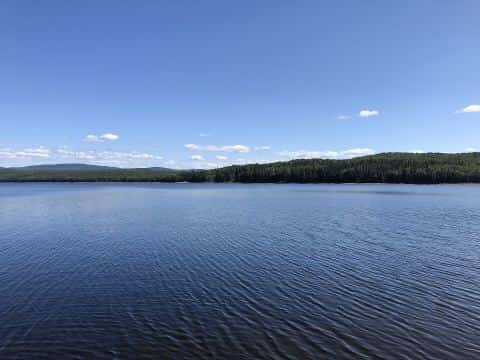
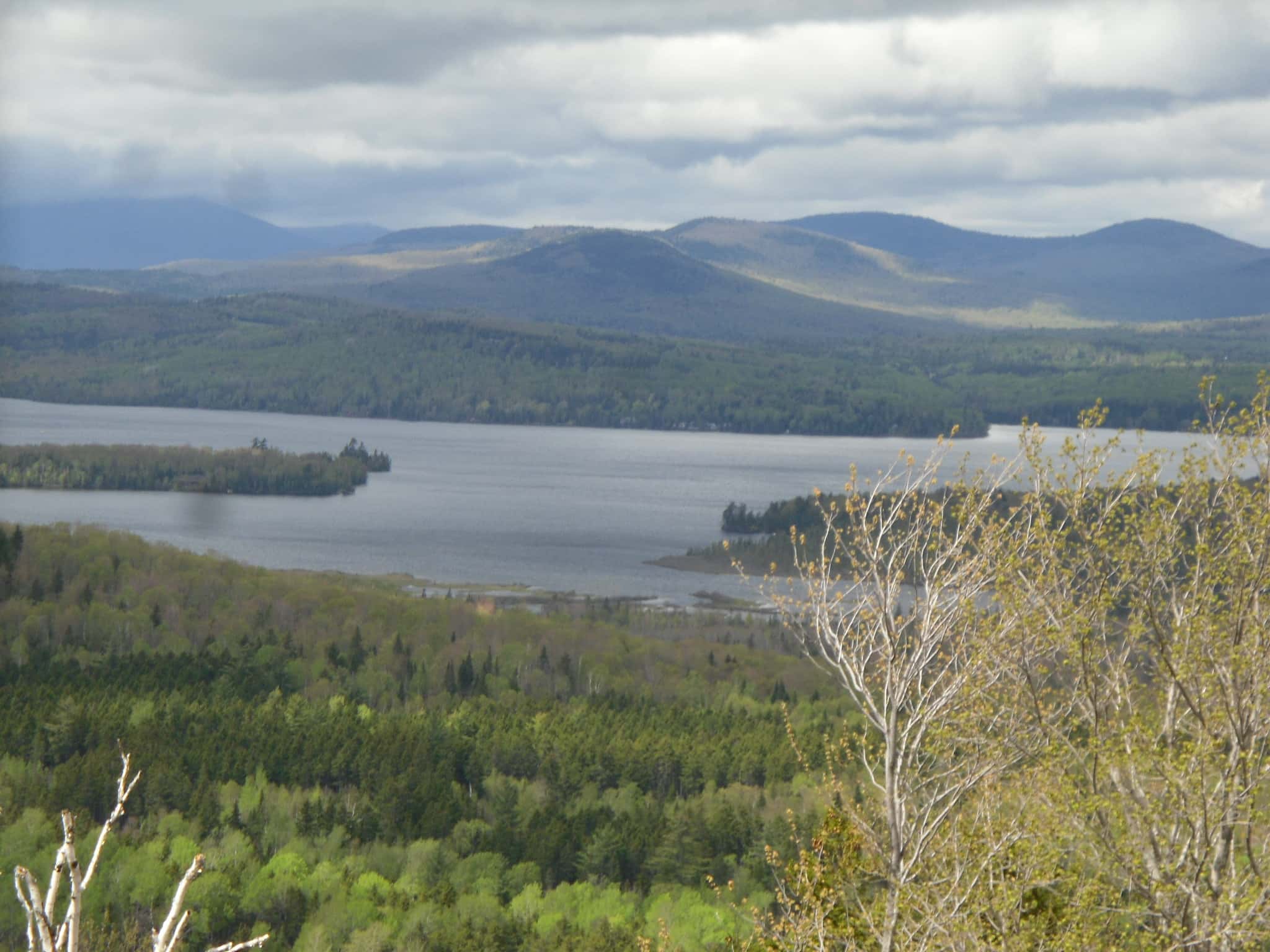
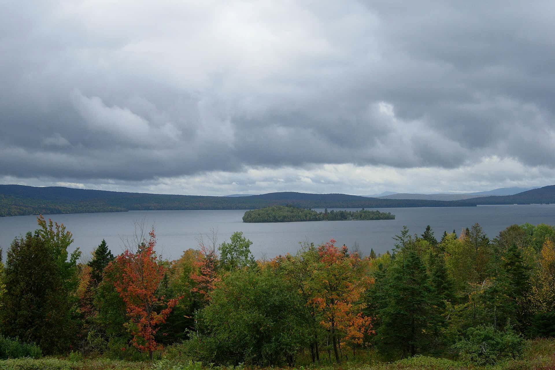
Rangeley Lake fishing: Atlantic Salmon, Arctic Char
Target species: Atlantic Salmon, Arctic Char
Boat: 1 ramp or launch on file for this water.
Start here: Launch at Rangeley Lake — Rangeley.
The lake
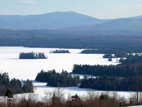
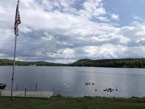
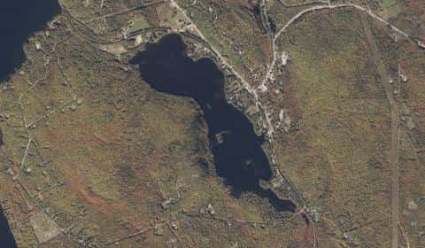
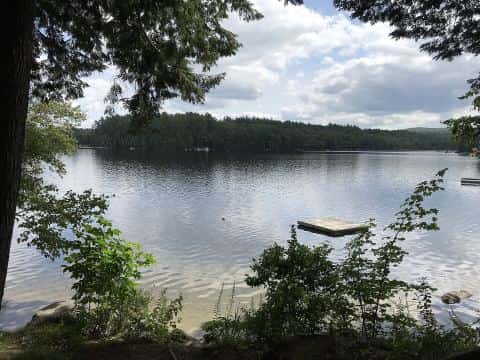
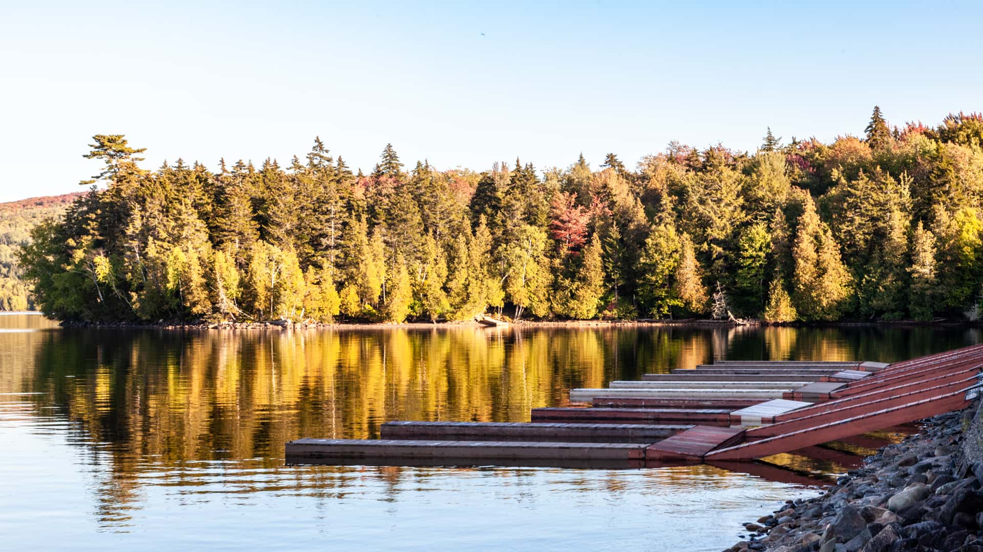
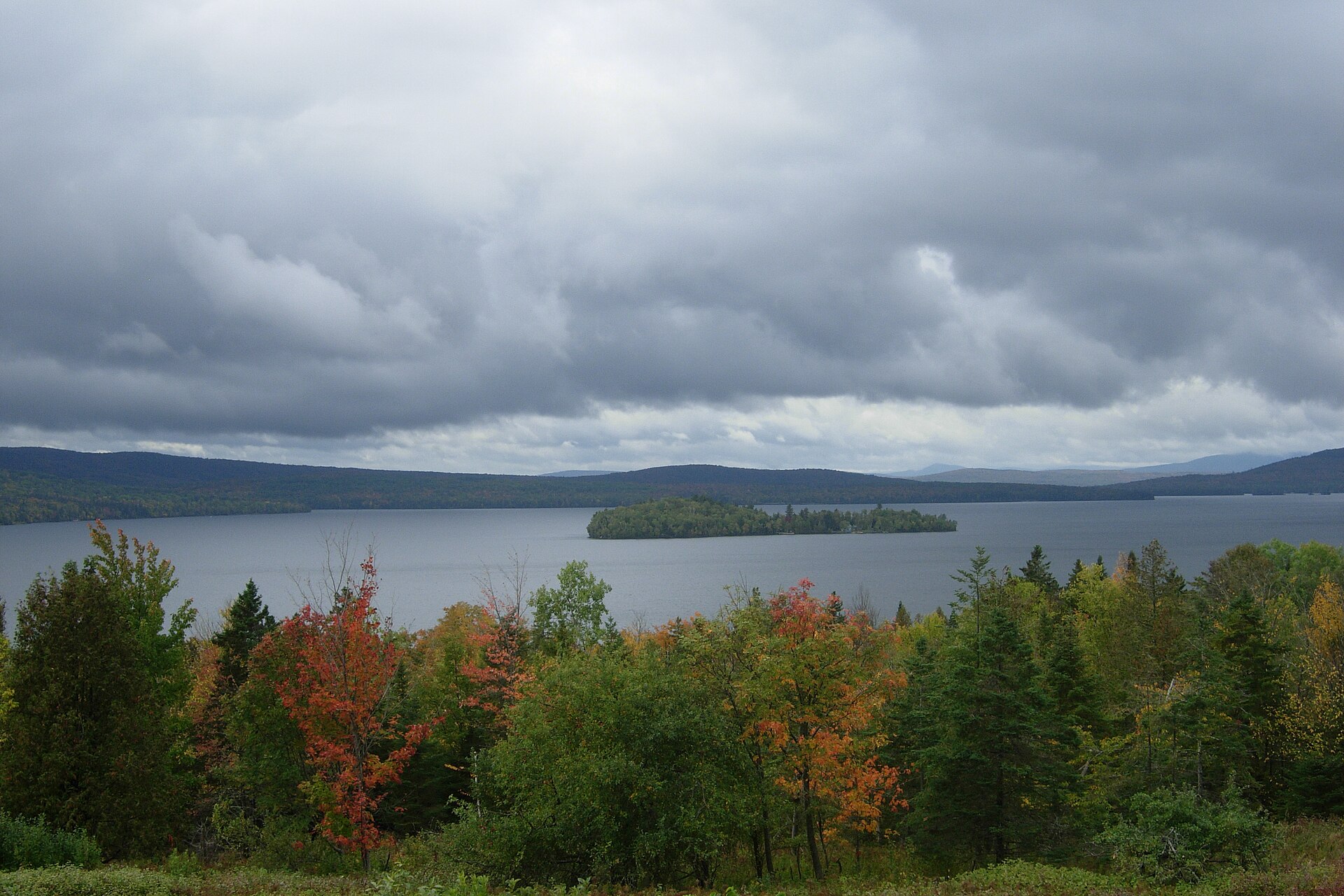
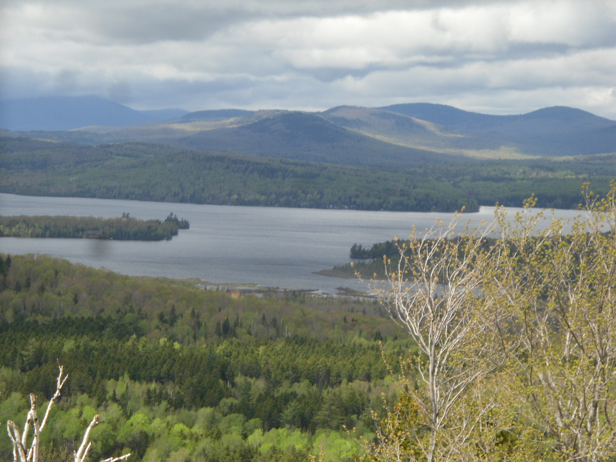
Rangeley Lake covers 6,350 acres in Maine, across Franklin County. It is a lake: the deepest point measured is 148 feet (45.2 m). Our records hold 3 species for this water.
Depth: down to 148 ft at the deepest measured point
Deepest measured point: 148 ft (45.2 m). We hold 447 depth contours for this water, drawn from 538 soundings.
- 0–10 ft: 13.6% of the surveyed bottom
- 10–20 ft: 11.1% of the surveyed bottom
- 20–30 ft: 10.7% of the surveyed bottom
- 30–40 ft: 9.4% of the surveyed bottom
- 40–50 ft: 8.5% of the surveyed bottom
- 50–60 ft: 8.1% of the surveyed bottom
- 60–70 ft: 9% of the surveyed bottom
- 70–80 ft: 10.2% of the surveyed bottom
- 80–90 ft: 7.7% of the surveyed bottom
- 90–100 ft: 4.8% of the surveyed bottom
- 100–110 ft: 2.8% of the surveyed bottom
- 110–120 ft: 1.2% of the surveyed bottom
- 120–130 ft: 1.4% of the surveyed bottom
- 130–140 ft: 1.1% of the surveyed bottom
- 140–148 ft: 0.5% of the surveyed bottom
2 target fish, led by Atlantic Salmon
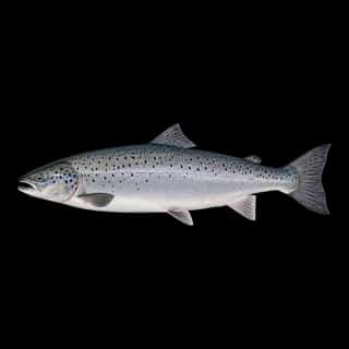
- Atlantic Salmon — Feeding water: 45–60°F.
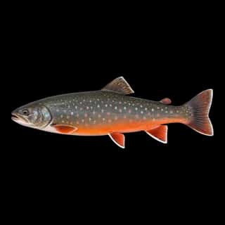
- Arctic Char — Feeding water: 40–55°F.
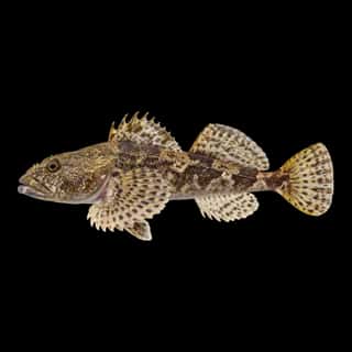
Also recorded here: Slimy Sculpin.
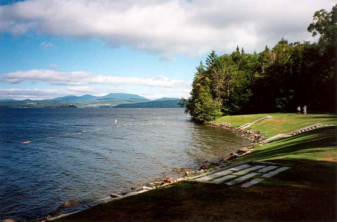
1 ramp or launch on this water
On this water we hold 1 boat ramp.
- Rangeley Lake — Rangeley — Rangeley, Local.
The place listed has no fee or opening hours on file: a blank means we hold no such field, not that it is free or always open, and this list may not be complete.
What is hard here
Wind is the limit, not the fish: 6,350 acres of open water build a short steep chop, and there is no shelter in the middle. Only 1 public ramp is on file, so the launch decides where you fish.
Where this data comes from
- Maine DEP — Maine DEP: depth soundings: class A, a survey of the bottom.
- Webster, K.E., McCullough, I.M., Soranno, P.A. LAGOS-US DEPTH v1.0, EDI, doi:10.6073/pasta/64ddc4d04661d9aef4bd702dc5d8984f (CC BY 4.0); Cheruvelil et al. LAGOS-US LOCUS v1.0 (EDI) — LAGOS-US DEPTH v1.0: Lake depth for 17,675 lakes in the conterminous U.S.: class B, a depth figure measured and published by an agency, without a bottom map.