
9:41
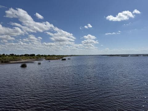
Lake Okeechobee
lake · Florida · Clewiston
Depth chart · 0 – 23.5 ftSave offline
Soundings: noaa-soundings, usace-ehydro, usgs-ds1031Follow
Your catch notesPlus
Private pins on the depth chart — nobody else sees them
1Bass 4.2 lb · grass edgeAug 12 · 06:504 ft, light W wind, white swim jig. Right where the 3-ft band meets the canal.
2Crappie ×6 · brush pileMay 3 · 19:101/16 jig under a float in 6 ft. Second solunar window.
Surface area339,988 ac
Maximum depth23.5 ft
Shoreline322 mi
Fish species29
Boat ramps34
Nearest townClewiston
About this water
Lake Okeechobee Fishing Guide: Largemouth Bass, Black Crappie, Bluegill & Best Spots At a Glance: What to Fish, When, and Where to Start Lake Okeechobee is Florida’s biggest lake and a national destination for trophy largemouth bass, black crappie (speck), and bluegill. The best months for big bass are March, April, October, and November, with strong bites for crappie in winter and early spring. You need a boat to fish most of the lake—shore access is limited. Start your trip at the Clewiston City Marina or the City of Belle Glade - Torry Island Public Boat Ramp - Pavillion Side, both with six lanes and paved parking. Focus on the o…
Read the full description